News
Strong Storms Expected Tonight in Omaha Area
OMAHA, Neb. (WOWT) – The First Alert 6 Weather Team is predicting strong storms tonight, with the potential for severe weather after 9 p.m.
Sporadic storms may occur this afternoon on the western edge of the viewing area, but these are unlikely to impact the metro. A Severe Thunderstorm Watch is in effect for Wayne County and other areas northwest until 10 p.m., signaling the arrival of strong weather conditions.
Today’s forecast includes isolated showers earlier in the day, with most areas remaining dry and temperatures reaching the mid-80s. High humidity levels will make it feel closer to 90. The main round of storms is expected to develop to the northwest, making its way towards Omaha later tonight.
Forecasters warn that some storms could bring wind gusts exceeding 60 mph and possible hail. While there is a low chance for a brief tornado, the greatest concern remains strong winds and heavy rain, with 1-3 inches possible along and north of Interstate 80.
As the storms move southeast overnight, they are expected to weaken. By 1 a.m., the severe weather threat should diminish, leaving behind isolated showers by Tuesday morning. Temperatures tomorrow morning will be in the upper 60s.
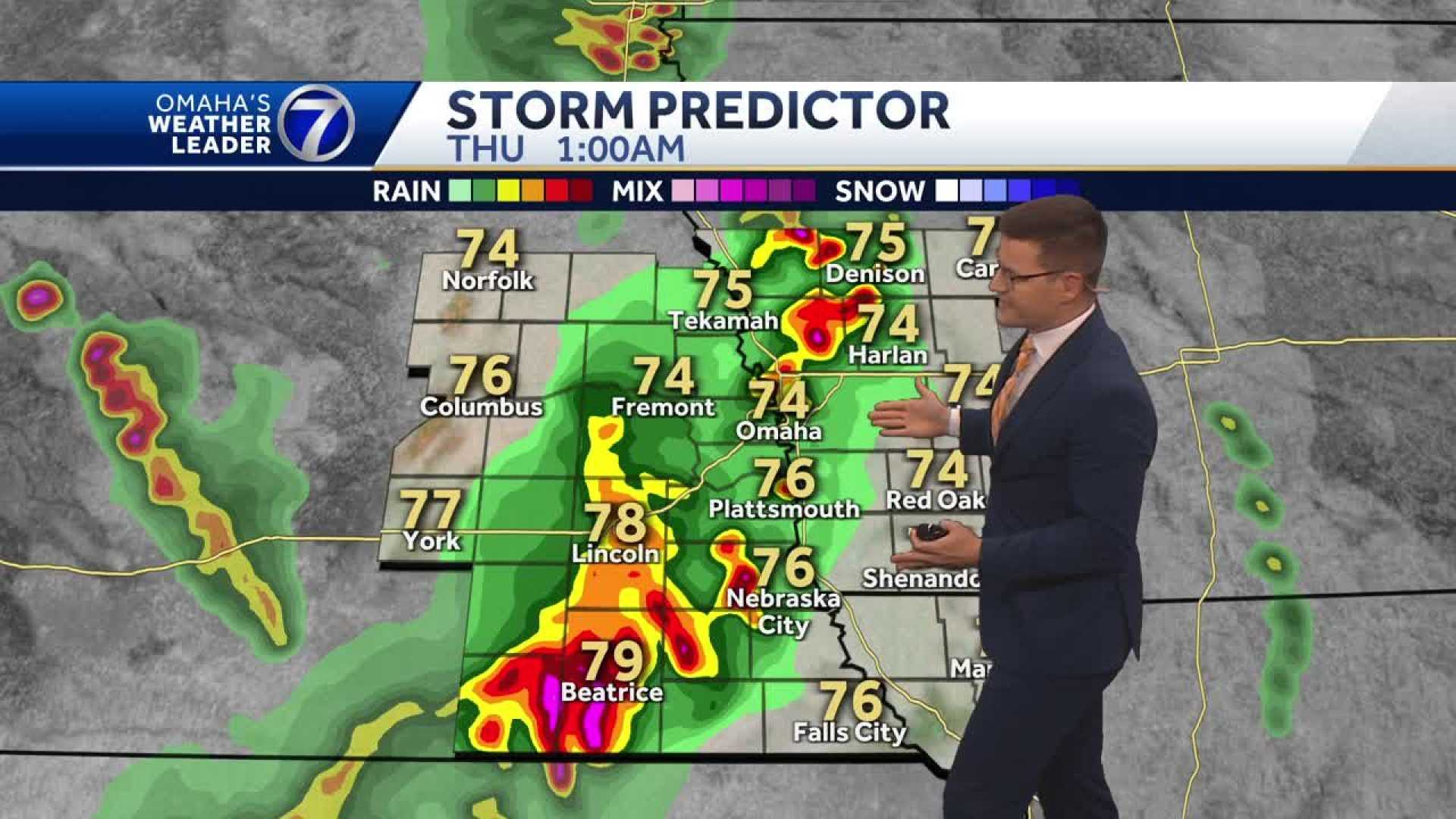
Tuesday afternoon will feature clear skies with highs in the mid-80s, followed by temperatures rising into the upper 80s by Wednesday. While a few scattered showers could occur, most of the area will remain dry. Late Thursday night may bring more spots of rain as a cold front approaches, leading into a cooler Friday with highs in the mid-80s.


