News
Weather Roller Coaster Ahead for East Texas This Week
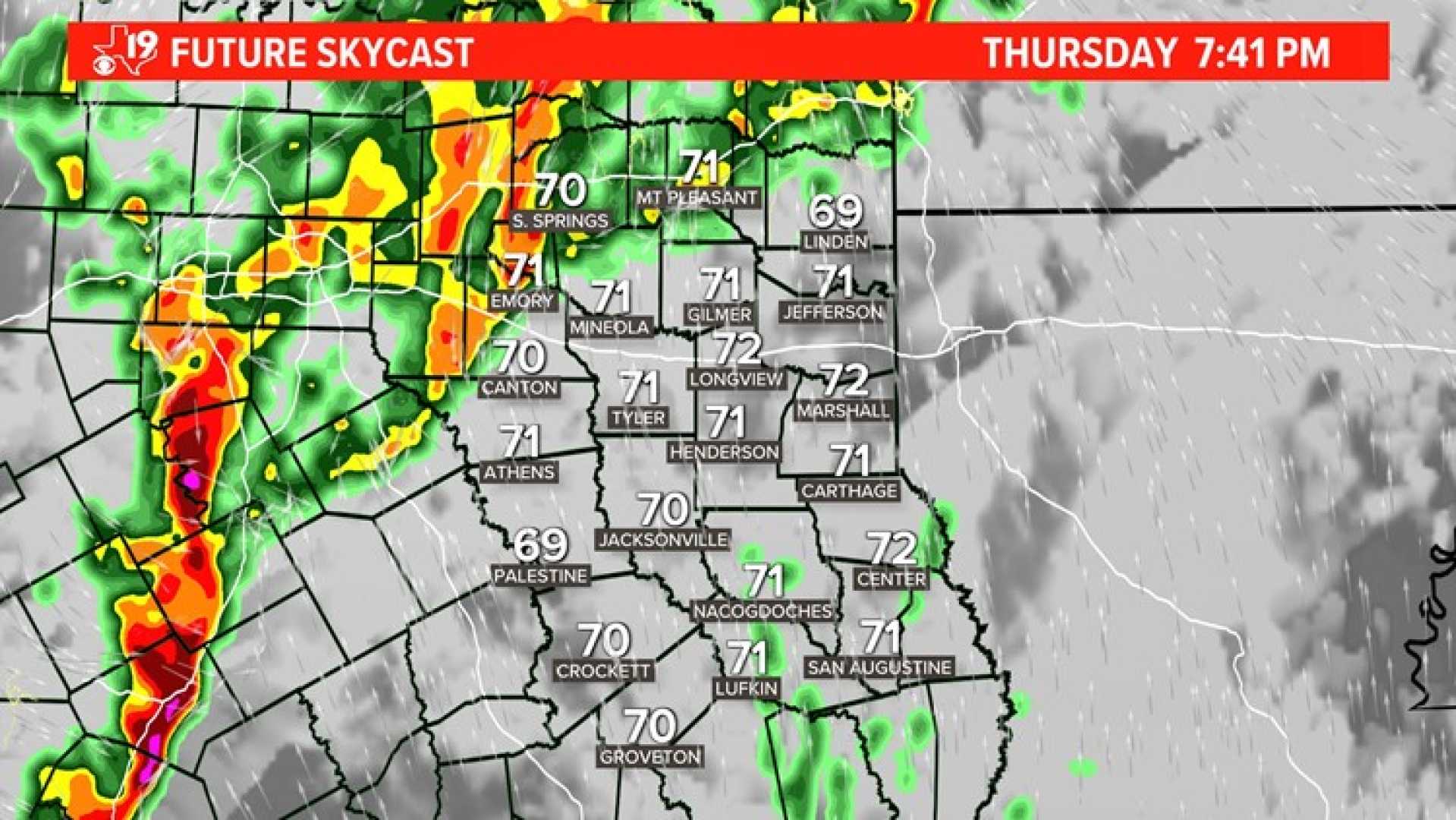
DEEP EAST TEXAS (KTRE) – A series of cold fronts are expected to bring significant weather changes to East Texas over the next week, including the possibility of rain and thunderstorms.
The first front will arrive Tuesday morning, bringing a 30% chance of sprinkles under cloudy skies. Wake-up temperatures will be in the upper 60s, but only minor rainfall is expected, with accumulations of just a few hundredths of an inch.
After the frontal passage, northerly winds will bring a chill, dropping temperatures to the lower 50s overnight. Wednesday and Thursday will start cool but warm up nicely to the mid-80s by afternoon under partly cloudy skies.
The next significant storm system is projected to hit late Friday into the weekend. With low pressure tracking south, rain chances will increase to 40% on Friday and rise to 70% on Saturday, forecasting a day of potential storms similar to last weekend.
As East Texas faces building drought conditions, the rainfall is essential, with predicted totals between one and two inches throughout the week, primarily from the weekend’s storm.
Residents are encouraged to stay informed by downloading the KTRE First Alert weather mobile app for the latest forecasts and weather updates.


