News
Heat Dome Brings Scorching Weather to Tampa Bay
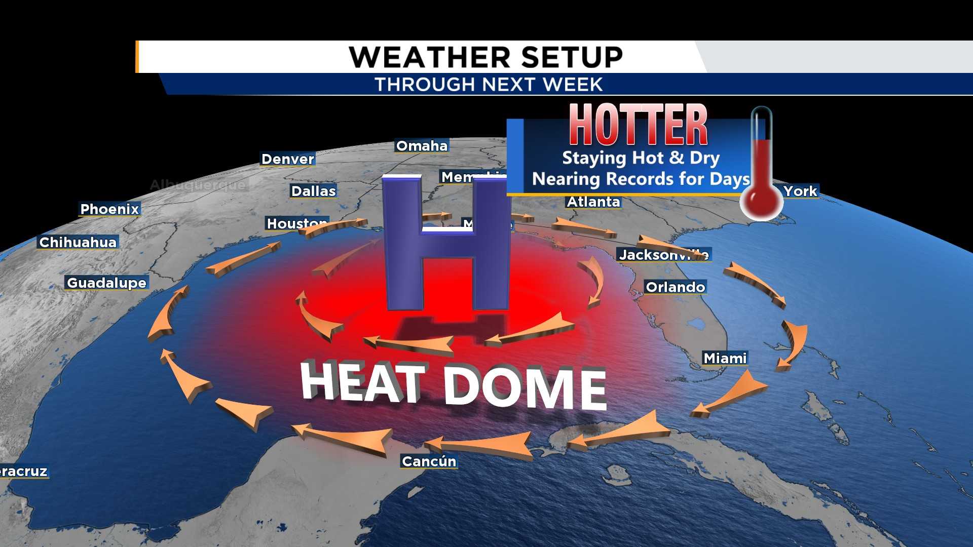
TAMPA, Fla. — A heat dome is enveloping much of the United States, causing sticky temperatures in Tampa Bay and beyond. The summer heat has arrived, leading to persistent high temperatures and unusual thunderstorms throughout the area.
Over the past week, thunderstorms have rolled through at unexpected hours, often occurring overnight and lighting up the skies. Meteorologist Austen Flannery with the National Weather Service explains that the timing of these storms hinges on small atmospheric changes. “The land heats faster than the water, so that causes sea breezes to form, and along those sea breezes is where thunderstorms start,” he said.
As more hot days are ahead, scattered showers are expected in Tampa Bay, influenced by a massive heat dome dominating the weather across much of the nation. The National Weather Service warns local heat indices could rise to around 100 degrees next week.
Traditionally, summer thunderstorms in Tampa Bay help cool down the afternoon heat. However, with the current heat dome, drier air is expected, potentially resulting in fewer, more scattered storms. “While it was drier, it wasn’t too dry to keep thunderstorms from forming,” Flannery added.
Impacts from this heat dome can lead to significant heat risks for residents, particularly in the Tampa Bay region. The forecast indicates moderate to major heat risks as temperatures continue to soar. “You’ve already missed the window to start that cooling trend earlier, and now you’ve got all this moisture at the surface that can retain more heat,” Flannery said.
Next week, rain chances remain at least 50% each day, with highs expected in the mid-90s—slightly above normal for this time of year. Residents are advised to stay informed and prepared as the heat and humidity persist.


