News
Severe Weather Threat Looms Over Indiana This Weekend
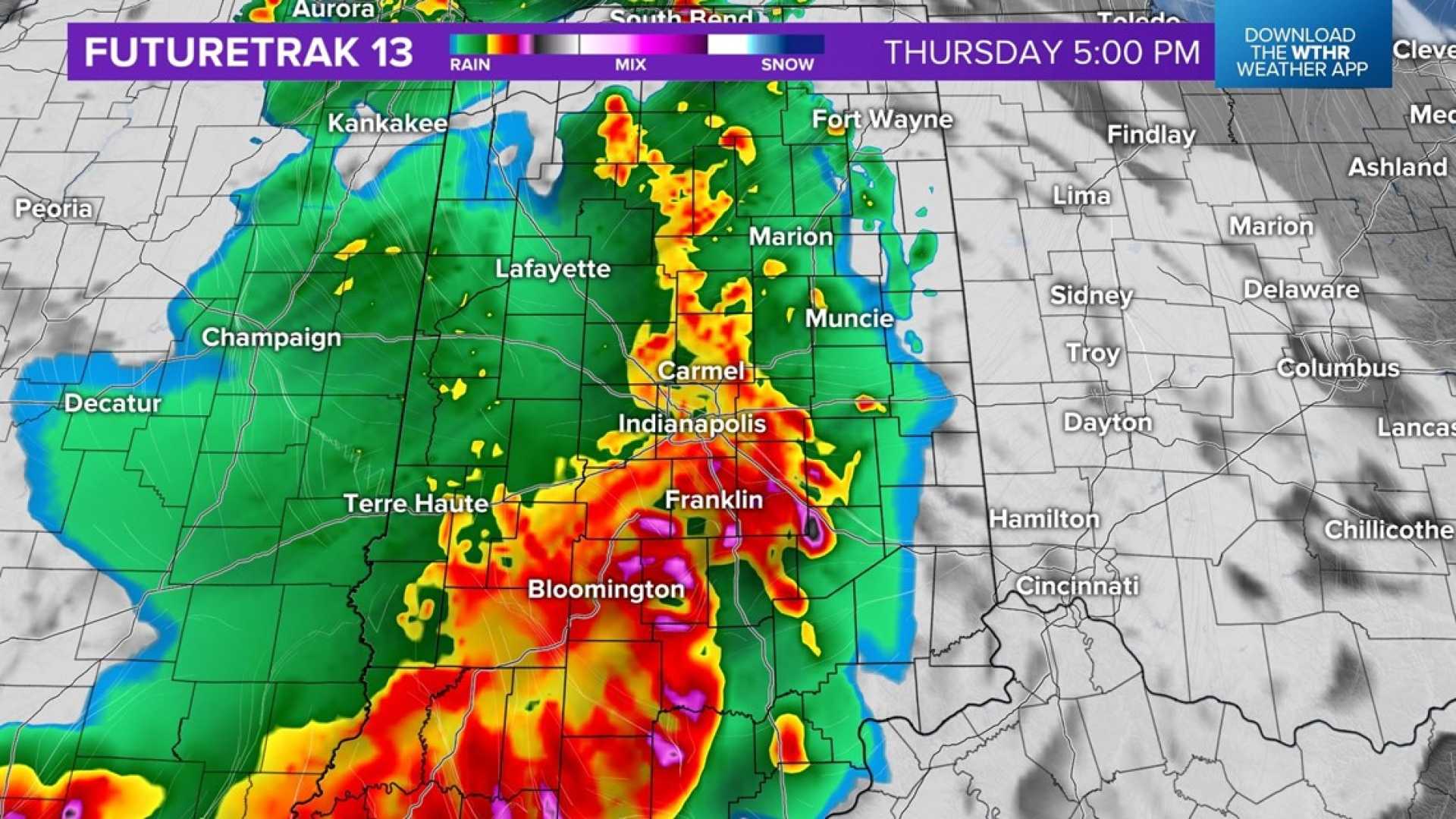
INDIANAPOLIS, IN — After a week of sweltering 90-degree temperatures and heat indices exceeding 100 degrees, residents can expect some relief today. Early morning showers and storms have subsided, but additional pop-up showers and storms are anticipated this afternoon due to a stalled boundary over south central Indiana.
Throughout the early afternoon, skies will be mainly dry with the possibility of a light shower. High temperatures are expected to reach near 90 degrees, feeling like the mid-90s. The primary window for storms is forecasted for approximately 4 p.m. to 8 p.m., particularly along and south of Interstate 70 in east central Indiana.
Overnight temperatures will remain warm and muggy, with lows in the low 70s. For tomorrow, temperatures are again expected to reach the upper 80s, approaching 90 degrees, with the day starting mainly dry. However, a few stray storms may develop by 2 p.m., leading to hit-or-miss storms through the evening.
Monday is expected to be a significant day of transition, as a cold front moves slowly across Indiana, prompting scattered storms. Some of these storms may escalate to strong or severe conditions with damaging wind gusts and brief heavy rainfall, potentially leading to localized flooding. Ahead of the front, temperatures will rise into the mid-to-upper 80s.
Starting Tuesday, residents will experience a reprieve from the extreme humidity, as lower dew points in the mid-60s will usher in a more refreshing air mass. The midweek forecast looks promising for early-July standards, but conditions may turn muggy again on Thursday and Friday.
Both Thursday and Friday are expected to remain mainly dry, with only a slight chance of stray storms brewing during the heat of the day. This weekend, temperatures will drop to the mid-80s, presenting a more manageable heat index.


