Tropical Storm Chantal Approaches Carolinas, Brings Heavy Rain Forecast
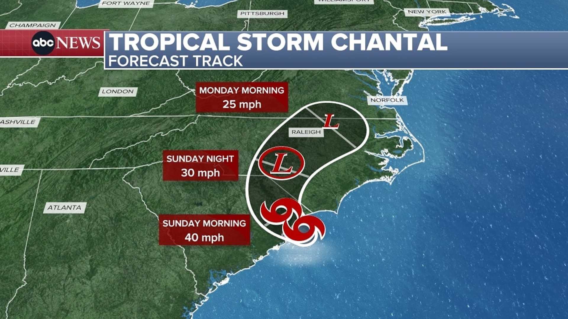
CHARLOTTE, N.C. (WBTV) – Tropical Storm Chantal is approaching the Carolinas, with expected heavy rain and storms beginning Sunday. The storm is moving inland over South Carolina and is set to impact coastal areas in North Carolina, especially near Charleston and Myrtle Beach.
The National Hurricane Center reported that Chantal formed from low pressure near Florida and Georgia on July 4. The storm intensified late Saturday, with winds climbing to 50 miles per hour as it progresses northward.
Tropical storm warnings are in effect from Charleston, South Carolina, to the southern North Carolina coast. These warnings indicate that wind gusts could exceed 39 mph, potentially causing minor damage and localized coastal flooding.
Expect rainfall totals to range between 1-3 inches in the Piedmont Triad, with heavier amounts possible in the eastern regions. Local authorities are preparing for flash flooding and hazardous driving conditions, especially on Sunday from late morning through the evening.
Coastal communities are bracing for strong surf and rip currents as the storm brings periods of heavy rain and increased wave heights. Beachgoers should stay updated with local forecasts.
After Chantal passes, the Carolinas will return to a typical summer weather pattern with afternoon thunderstorms possible into next week.