News
First Alert Weather Day: Strong Storms Expected This Afternoon
LANSING, Mich. (WILX) – The News 10 First Alert Weather Team has declared today a First Alert Weather Day. A cold front moving into warm and humid air may produce thunderstorms with damaging winds and heavy rainfall this afternoon into the evening.
Forecasters warn that the Storm Prediction Center has classified the area under a Marginal to Slight Risk for severe weather today and tonight. Residents with outdoor plans should remain vigilant and seek shelter if storms approach.
Expect temperatures to reach into the 80s, with high humidity and unstable air contributing to the development of thunderstorms. Winds from the south are adding to concerns about severe weather, including the potential for supercell development, which could lead to tornadoes.
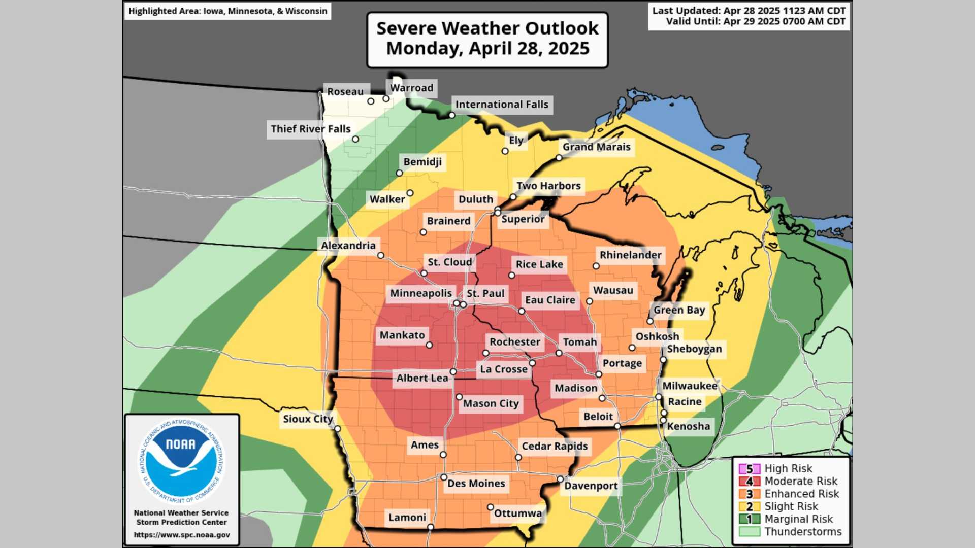
Thunderstorms are likely to develop late this afternoon through the evening. The severe risk is rated at an enhanced 3 out of 5, with hail being the least likely threat compared to heavy rainfall and damaging winds.
With recent flash flooding in the region, officials state that only one inch of rain could trigger a flash flood warning again. Flash flooding is a major concern, particularly in urban areas.
As the evening progresses, storms are expected to taper off around midnight, leading to a cloudy and dry overnight with lows in the upper 60s. Looking ahead, Saturday will start mostly cloudy but is expected to turn partly cloudy in the afternoon.
A weaker cold front may bring more storm chances Saturday afternoon. However, as instability is predicted to be lower, severe storms are uncertain. Highs will remain in the mid-80s.
After Saturday, humidity will decrease, leading to more comfortable conditions on Sunday and Monday, with sunny skies and highs in the mid-80s. However, additional storm chances are projected for Tuesday through Thursday, with attention on Wednesday for more severe weather potential.


