News
Severe Thunderstorms Expected Saturday Across New Hampshire
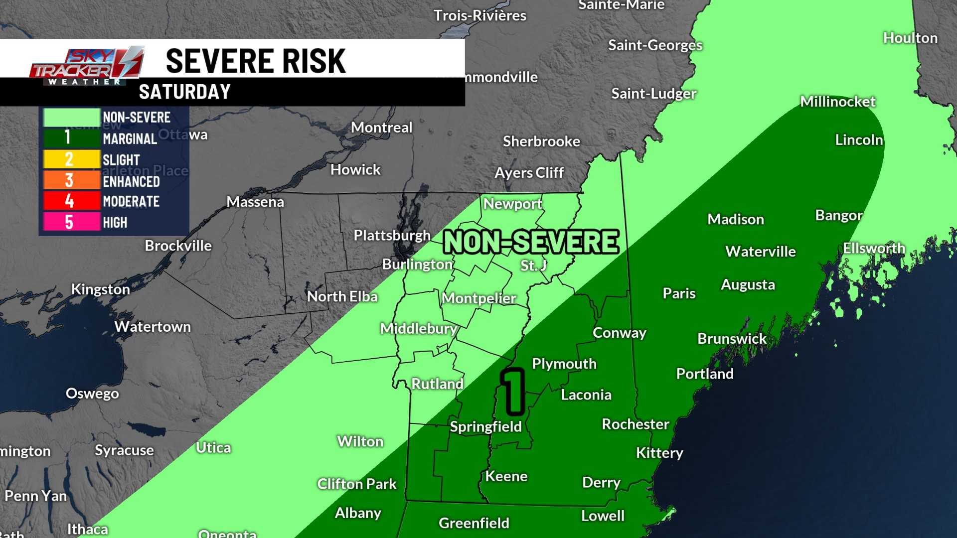
MANCHESTER, N.H. — New Hampshire is in for a stormy Saturday as a cold front brings strong thunderstorms across the state. Meteorologists warn of the potential for damaging winds, hail, and heavy rain, which could disrupt outdoor activities planned for the weekend.
The stormy weather will begin Saturday afternoon, with the storms advancing from the northwest to the southeast. High temperatures are anticipated to reach the low to mid-80s, accompanied by increased humidity, which will fuel these thunderstorms.
According to the Storm Prediction Center, there is a significant risk of severe weather across much of the state. Residents are urged to stay storm-aware and be ready to seek shelter indoors, especially if severe weather warnings are issued.
The storms are expected to begin late in the afternoon, with the first impacts felt around 1 p.m. in the far north, progressing through key areas like the Upper Valley and Mount Washington Valley by 2 p.m. By 5 p.m., coastal regions should prepare for the storms as well.
Popular events scheduled for the weekend, such as the air show at Pease and the Seafood Festival at Hampton Beach, will require attention. Fortunately, organizers have preemptively moved some events up, ending by 3 p.m. to avoid the storms. The strong thunderstorms may also carry a low risk of a weak tornado.
After the storm passes, the skies will gradually clear by 6 or 7 p.m., but clouds may linger into the night. Rain is expected again Saturday night into Sunday morning, with some lingering showers possible in southern and southeastern New Hampshire on Sunday.
Temperatures will cool back into the mid-60s on Sunday, providing a refreshing change from the warm Saturday. Highs will only reach the low 70s as fall-like weather sets in for the beginning of next week, following a dry and comfortable stretch.


