News
Tropical System Threatens Southeast US with Heavy Rain Next Week
PITTSBURG, KS — A strengthening tropical depression near the Bahamas could bring heavy rain, coastal surges, damaging winds, and dangerous surf to the Southeast United States as early as Monday, prompting immediate preparations for residents.
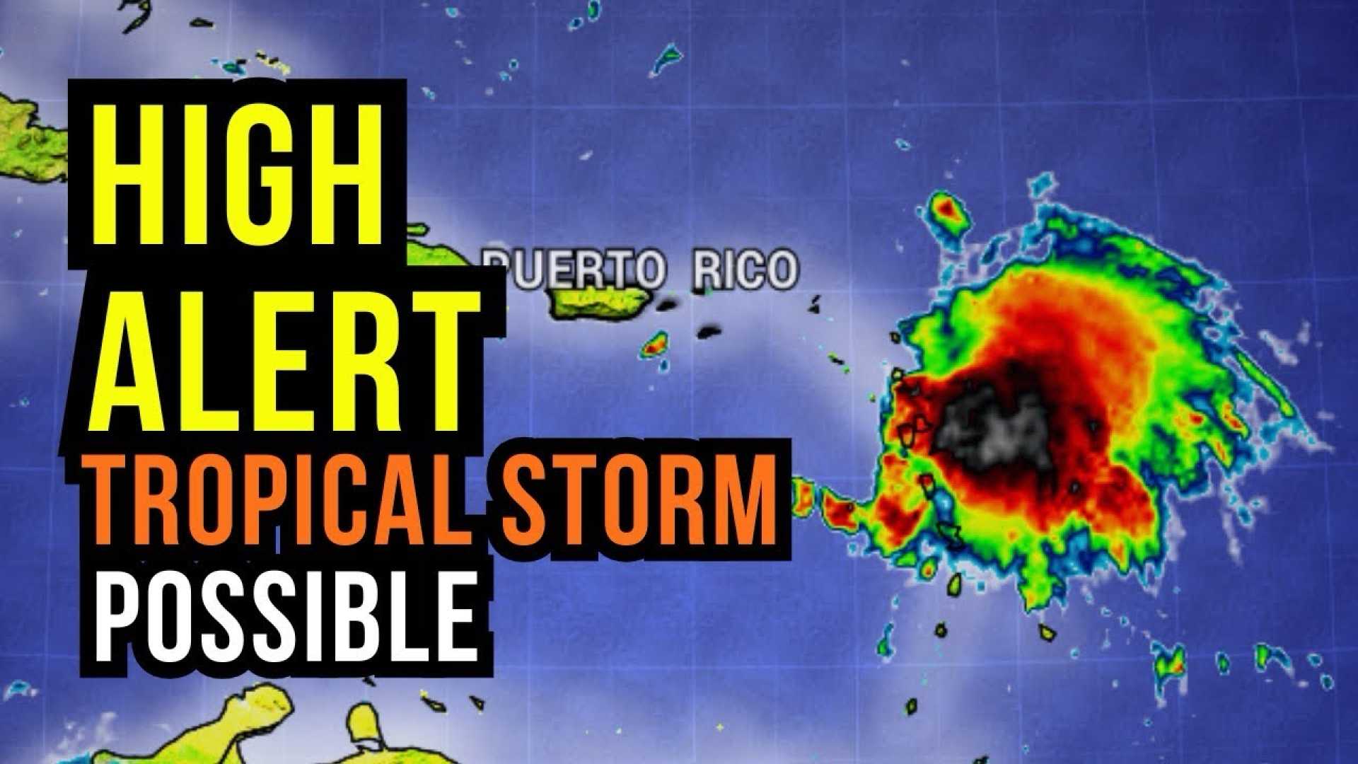
The National Hurricane Center reported Tropical Depression Nine formed Saturday morning, featuring maximum sustained winds of 35 mph. It is expected to develop into Tropical Storm Imelda by tonight and potentially reach Category 1 hurricane status by late Monday or Tuesday.
Currently, tropical storm warnings are in place for the Bahamas, while tropical storm watches have been issued for Florida’s east coast, from the Palm Beach and Martin County line to the Flagler and Volusia County line. Although forecasts suggest the system will move offshore, tropical storm-force winds are likely in these regions on Monday.
Predictions indicate the storm will pass across the Bahamas this weekend before steering towards the Southeast coast early next week. The hurricane center also anticipates that the storm will slow down as it nears South Carolina.
Heavy rainfall is the primary concern associated with Imelda, as slow-moving bands could cause significant flooding by overwhelming already saturated ground and waterways. Onshore winds may also drive water surges, increasing the risk of coastal flooding.
In anticipation of the storm’s impact, South Carolina Governor Henry McMaster activated statewide response plans on Friday, preparing agencies for significant wind, rain, and flooding risks.
If the storm makes landfall, areas near and north of its center face the highest risk of damaging winds and power outages.
Meanwhile, Hurricane Humberto has intensified into a Category 4 storm far from the U.S., with peak sustained winds of 155 mph. Although it poses no immediate threat to the mainland, it could affect Bermuda later next week.
The interaction between Humberto and the developing Imelda adds complexity to the forecasting, as they may influence each other’s paths and intensity. Potential outcomes range from minimal impacts to severe flooding if the storms align poorly.
Federal weather experts note a high degree of uncertainty regarding the forecast. Weather models have begun to identify Imelda’s rotation, but other competing weather systems may alter its trajectory.
This evolving weather pattern requires close monitoring by residents and visitors in the Bahamas and along the U.S East Coast as the risks of wind, rain, and storm surges come into clearer focus by the weekend.


