News
Tropical Development Likely This Week in Central Atlantic
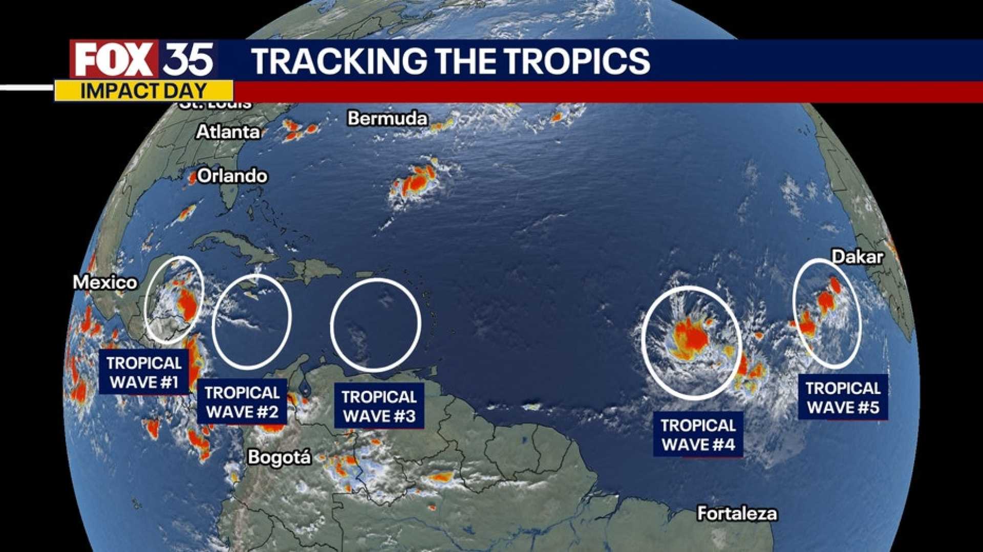
MIAMI, FL – A tropical wave named Invest 95L has emerged off the coast of Africa, increasing the likelihood of tropical development in the Central Atlantic this week. The National Hurricane Center (NHC) has stated that the system is currently producing disorganized showers and thunderstorms and has a 70% chance of developing into a tropical depression within the next seven days.
The latest updates from the NHC indicate that this wave, located several hundred miles southwest of the Cabo Verde Islands, could potentially reach tropical storm status by the end of the week. If it does, it will be named Jerry.
Forecasters highlight that while conditions are favorable for development, conflicting signals could affect the organization of this disturbance. “It’s too early to determine the exact path it will take,” said a meteorologist at the NHC. Early modeling suggests a recurve pattern that could steer the system away from the U.S. coastline.
Meanwhile, a weak area of low pressure near the northern Gulf Coast is expected to bring heavy rainfall to regions in southeastern Louisiana and parts of Mississippi and Alabama. However, the NHC has indicated that this system poses no threat of becoming a tropical cyclone.
Although the Gulf Coast is currently under the influence of strong wind shear and dry air, which hamper tropical development, forecasters remain vigilant. Areas near the Lesser Antilles should be prepared to monitor the progression of Invest 95L as it could bring significant weather impacts.
The Atlantic hurricane season officially runs through November 30, and typically, October and November see an uptick in storm activity. As the weather patterns evolve, residents along the eastern coastline are encouraged to stay informed through reliable weather updates.


