News
Chicago Braces for Winter Storm with Heavy Snow Expected this Weekend
CHICAGO, Illinois — Parts of the Chicago area may experience several inches of snow starting Sunday evening and lasting into Monday morning, according to the National Weather Service.
A lake-effect snow band is anticipated to develop around northwest Indiana, extending into the evening hours and potentially impacting areas of northeast Illinois.
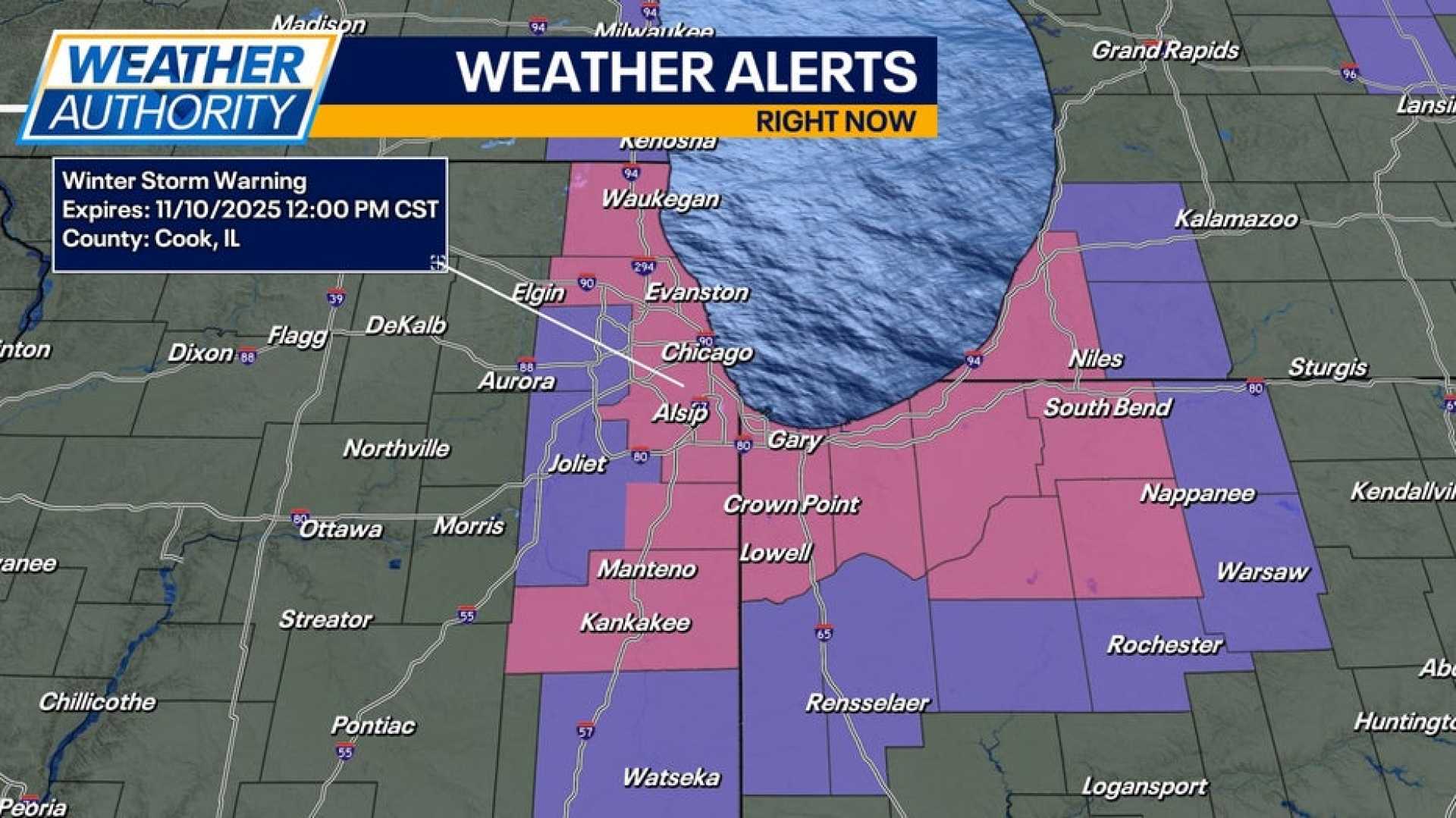
The National Weather Service has issued a Winter Storm Watch for Cook and Will counties from midnight until 6 p.m. on Monday. Indiana’s Lake and Porter counties are also under a Winter Storm Watch from midnight to noon on Monday.
ABC7 meteorologists are warning that the snowfall could create hazardous travel conditions during the Monday morning commute. In some areas, snow could accumulate at a rate of 2 inches per hour, and forecasts suggest total accumulations could range from 1 to 6 inches.
Jaisol Martinez, an AccuWeather Meteorologist, stated that light, intermittent snow showers may linger through Monday afternoon.
Before the main snow event begins, scattered rain and snow showers are predicted for Saturday night. Sunday’s temperatures will drop into the 30s, accompanied by gusty winds of up to 35 mph, making it feel colder.
During the day Sunday, no significant accumulation is expected, though some grassy areas could experience slush from heavier snow showers. As temperatures fall to the 20s overnight, the potential for significant snowfall increases.
Conditions are expected to clear briefly on Saturday afternoon before further cloud cover and precipitation return Sunday night, leading into a rainy Monday morning.
Forecasters stress the importance of monitoring conditions as this winter storm could significantly impact travel and daily routines in and around Chicago.


