News
Cold Front Approaches Sarasota, Bringing Cooler Temperatures
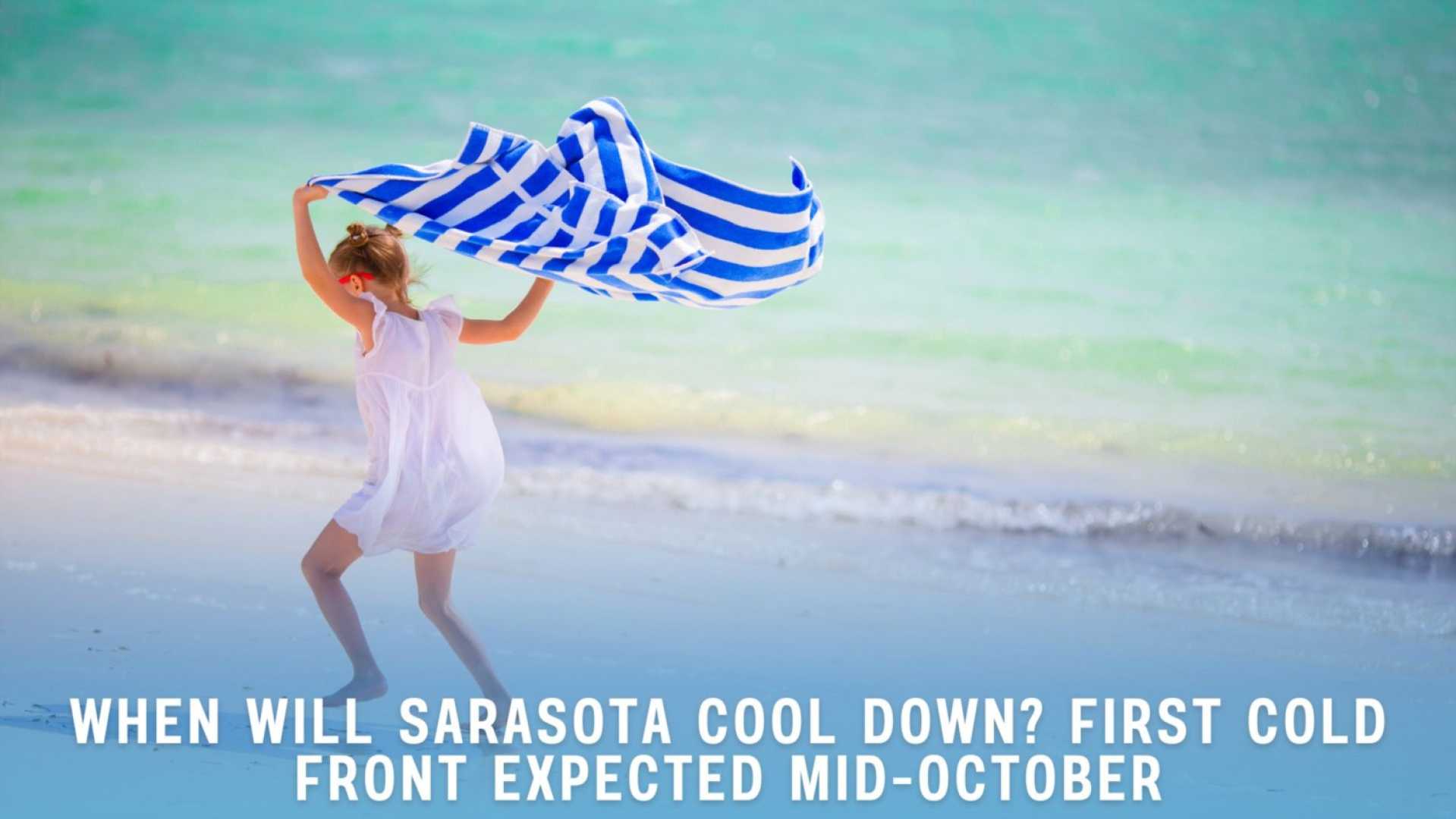
SARASOTA, Fla. (WWSB) – A cold front is expected to arrive late Friday, bringing slightly cooler temperatures to the region for the weekend. Typically, the first cold front of the fall season moves through around the second week of October, and this one is anticipated to arrive as scheduled.
While temperatures will not plummet dramatically, residents can expect a welcome dip in humidity levels. Highs on Saturday and Sunday are forecasted to be in the mid-80s, down from the average of 89 degrees, with low temperatures ranging from the upper 60s to around 70 degrees.
On Tuesday, scattered afternoon showers may occur, with a small chance of thunderstorms later in the day. High temperatures will hover around the upper 80s to low 90s, accompanied by breezy conditions with winds blowing from the east at 15-20 mph.
By Wednesday, slightly drier air is expected to move into the area, reducing rain chances to 20% during late afternoon and evening hours. Highs will again approach 90 degrees, while lows will settle into the mid-70s.
Thursday will likely see a few scattered storms in the late afternoon, with high temperatures around the average of 88 degrees. The incoming cold front on Friday is projected to bring some rain and thunderstorms as it passes through the area.
In terms of tropical activity, a disturbance known as Invest 95L is showing potential to develop into the next named storm, Jerry. Current forecast models suggest this storm will curve without making landfall in the Leeward Islands. However, another area of concern in the western Caribbean has a low 10% chance for development.
The National Weather Service emphasizes caution, reminding residents that while the tropics remain active, the systems currently in view are not expected to impact the U.S. mainland.
As fall officially begins, the weather in Florida still resembles summer, with highs lingering in the mid-80s to low 90s and high humidity. Meteorologist Christianne Pierce notes that overnight lows are a key indicator of changing weather patterns.


