News
Dense Fog and Storms Impact Jacksonville’s Morning Commute
JACKSONVILLE, Fla. – This morning, dense fog is creating hazardous driving conditions across Jacksonville, with visibility dropping to about two miles in many areas. Locations like the airport and Southbank are particularly affected, prompting safety warnings for commuters.
Residents are advised to take extra precautions while traveling. City officials recommend drivers allow extra time, keep headlights on low beam, and stay alert for children on their way to school.
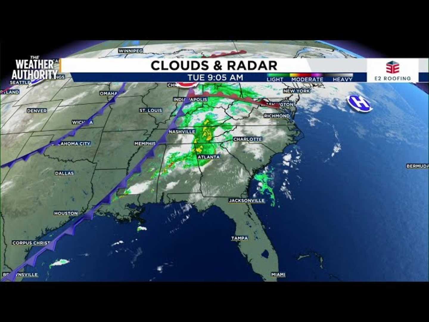
Adding to the weather challenges, Jacksonville is set to welcome significant rainfall for the first time in over a month. Last November marked an unprecedented dry spell for the region, with no recorded precipitation at all. Rain and thunderstorms are expected to move in from the Gulf, with a 60% chance of showers today.
Most storms are expected to remain below severe limits, but gusty winds could occur in certain areas. The Exact Track 4D radar indicates scattered showers are likely, and while some neighborhoods may miss out, others could experience localized heavy rain.
This morning’s temperatures started in the low 60s, rising to around 78 degrees before a cold front sweeps through later in the day. Following this front, much cooler weather will prevail, with highs dropping into the 60s and overnight lows potentially falling to the 40s by midweek.
Although this chilly spell is short-lived, temperatures are predicted to return to near-average levels by Friday and Saturday, hovering around the typical 70-degree high. Residents can expect humidity to persist through Friday, contributing to the overall muggy atmosphere.
For beachgoers, a moderate rip current risk remains in effect. Even if the sun appears, the conditions may not be suitable for swimming. Local residents are encouraged to share their weather observations and photographs using the Snap JAX platform.


