News
Flood Watch Issued for Yosemite National Park Amid Heavy Rain Forecast
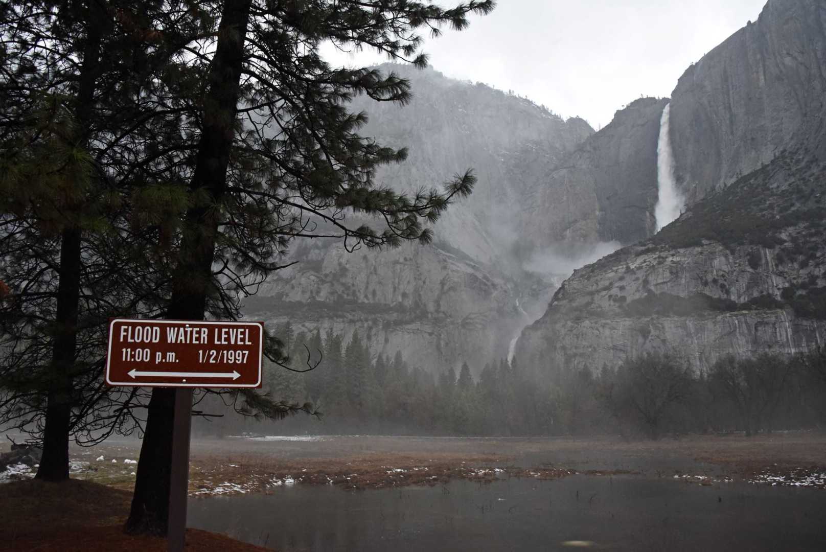
YOSEMITE NATIONAL PARK, CA – The National Weather Service has issued a Flood Watch for Yosemite National Park and the lower Sierra Nevada of Mariposa County. The watch is effective from September 18 until September 19 at 8 p.m. Meteorologists anticipate heavy rainfall accompanied by thunderstorms in the region.
According to the NWS, excessive rainfall may lead to flash flooding and debris flows, particularly in areas close to the Basin, French Burn Scar, and Garnet Fire. Residents living near these areas are urged to prepare for potential flooding impacts.
The rain is expected to cause significant runoff, which could lead to flooding of rivers, creeks, streams, and any low-lying or flood-prone regions. Authorities emphasize the need for vigilance and readiness among residents and visitors.
All mountain passes, including Highway 120 (Tioga Pass), Highway 108 (Sonora Pass), and Highway 50 (Carson Pass), remain open without restrictions. However, travelers in the area are advised to keep an eye on conditions as heavy rain could change rapidly.
The Flash Flood Watch highlights that while flooding is possible, it is not guaranteed. In contrast, a flood warning is issued when flooding is imminent or currently occurring. Residents are encouraged to monitor guidance from local authorities and the NWS.
The NWS advises that during heavy rainfall, those in flood-prone areas should adhere to flood safety guidelines. This includes moving to higher ground, complying with evacuation orders, and avoiding flooded areas. These simple steps can be crucial in ensuring safety during severe weather events.
Anyone in affected regions should stay informed, as conditions can change quickly in these mountainous areas.


