Politics
Georgetown County Faces Delays in Land Use Plan Update Amid Public Controversy

Georgetown County in South Carolina is currently grappling with delays in updating its land use plan, specifically in the Waccamaw Neck area, as controversies brew among residents and officials.
The county, slow on adopting a 10-year update to its comprehensive plan, commissioned the services of the firm Boudreaux to expedite the process after facing setbacks for several years.
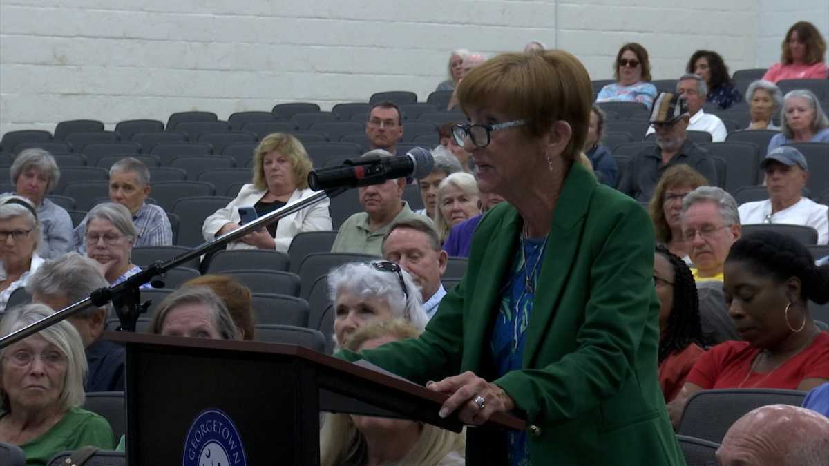
Recently, the Planning Commission approved the update, sparking discontent among hundreds of Waccamaw Neck residents who argued that the revised plan lacked measures to curb the density of future development.
Analyzed by the citizens group Keep It Green, modifications in the future land use maps could potentially introduce over 5,000 new homes compared to the current projections, raising concerns about overdevelopment.
Senior Planner Ryan Bland from Boudreaux addressed the County Council, highlighting the focus on reducing the high-density ‘general residential’ zoning designation, prompting discussions on altering over a thousand acres to alleviate density concerns.
One of the focal points of the proposed changes is the transformation of a significant area on the corner of Highway 17 and Waverly Road in Pawleys Island from ‘general residential’ to ‘village center,’ aiming to balance residential and commercial spaces with a lower density threshold.
Despite the maps’ provisions not directly dictating construction constraints, the forthcoming revision of the zoning ordinance will play a pivotal role in regulating the future development trajectories on the Waccamaw Neck.
As the County Council readies for further deliberations on the land use plan, stakeholders are eager to witness how the proposed adjustments will address the concerns raised by the community and ensure sustainable growth for Georgetown County.


