News
Powerful Storm System Brings Heavy Rain and Wind to Upper Midwest

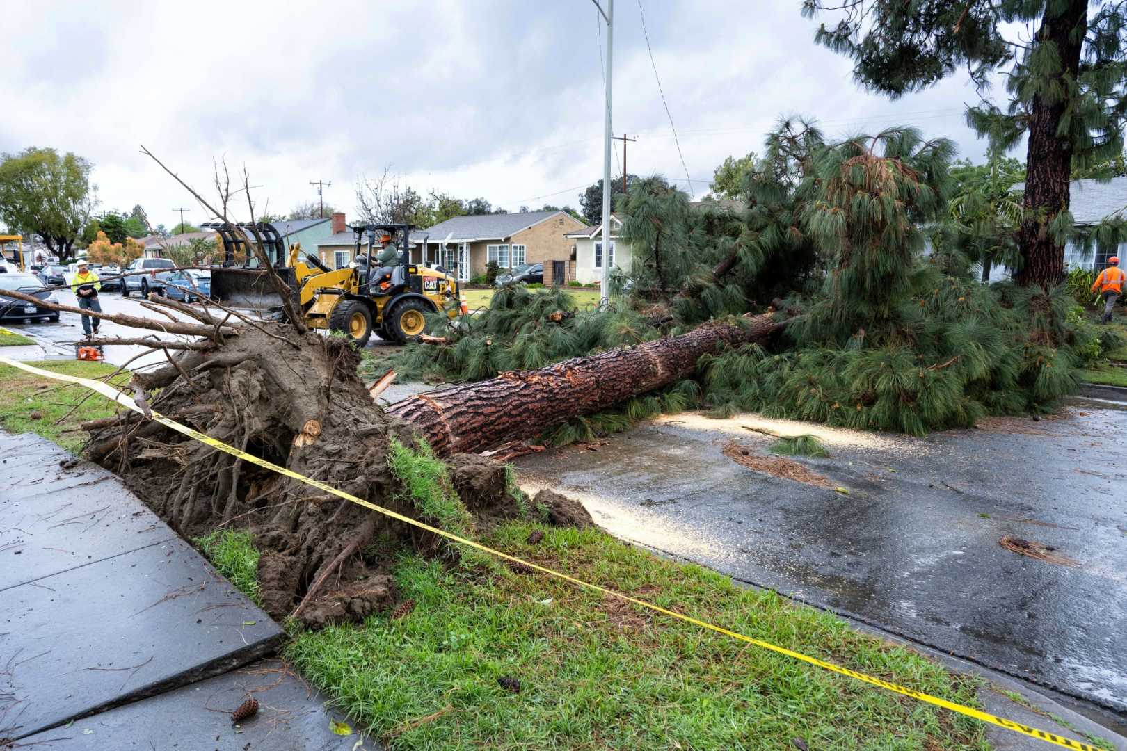
CEDAR RAPIDS, Iowa – A powerful spring storm system is moving across the upper Midwest, bringing heavy rain and strong winds over the next couple of days. Forecasts indicate that areas could receive between 2 to 3 inches of rain, with some localized areas seeing even higher amounts by Wednesday.
The storm, expected to linger until late Wednesday, will also bring strong gusts of wind, reaching up to 40 mph. These conditions may make it feel colder, with temperatures expected to range from the upper 40s to low 50s through the middle of the week.
A Wind Advisory is currently in effect for much of the region, with gusts predicted to affect afternoon conditions. While there could be thunder, the likelihood of severe weather remains low, with the best chance for stronger thunderstorms focused in southwestern Minnesota and northwestern Iowa.
Rain will begin tonight and continue into Tuesday, potentially bringing heavy downpours. An inch or more of rain is likely overnight, with another inch and a half expected during the day on Tuesday. However, officials note that the rain will come gradually rather than all at once, which may help minimize flash flooding despite the significant amounts.
This system is projected to clear the area late Wednesday night, leading to gradual improvement in weather conditions by Thursday, with highs in the mid to upper 60s expected. There are indications of another system developing that could bring additional showers Saturday night into Sunday, but overall the weekend is predicted to remain mostly dry with pleasant temperatures.


