News
Severe Heat and Thunderstorms Alert Across Midwest Regions
ROCHESTER, Minn. – Residents in multiple Midwest states are under severe heat alerts today as temperatures soar and thunderstorms loom. Extreme heat warnings have been issued for counties marked in pink, while heat advisories remain active for those in orange until 9 p.m. tonight.
The heat index this weekend has reached potentially dangerous levels, nearing triple digits with air temperatures settling in the 90s. Overnight, the high humidity is expected to persist, but a series of thunderstorms later today may bring some relief by cooling off the atmosphere.
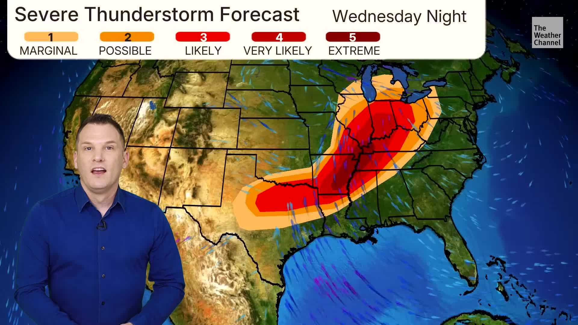
Monday also poses a risk for severe weather, with forecasters predicting scattered thunderstorms that may turn strong, given the instability in the air. Regions marked in yellow are under a level 2 out of 5 risk for severe storms, while areas in green are rated at level 1. The likelihood of severe storms is low; however, should they develop, gusty winds and heavy rainfall will be the primary threats.
Rainfall this week is expected to be significant, with totals potentially reaching 2 to 3 inches by Friday as storm systems move through. A calmer weather pattern appears to set in towards the end of the week when cooler temperatures are expected.
As the Midwest prepares for the imminent storms, public safety officials urge residents to stay hydrated and avoid prolonged outdoor activities during peak heat hours.


