News
Severe Storms Continue to Threaten Northeast Ohio Through Friday Evening
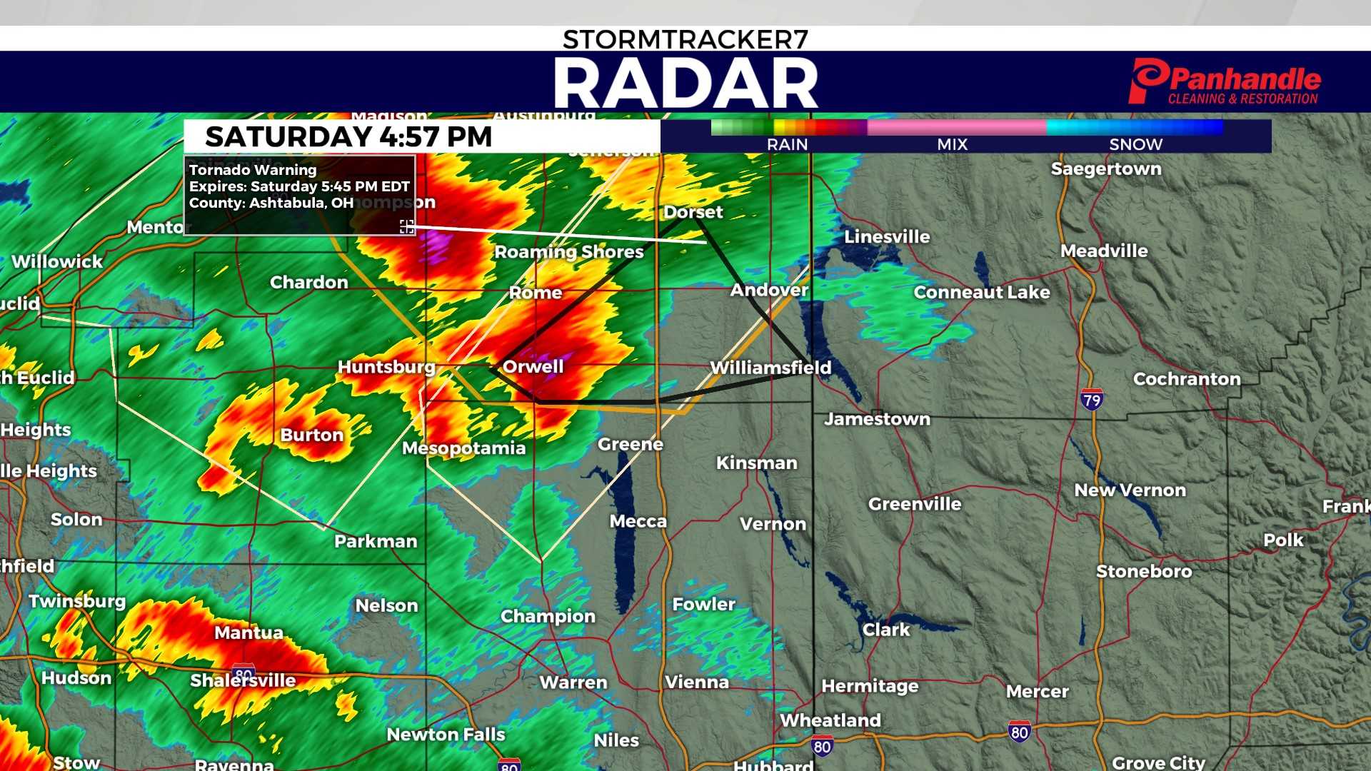
CLEVELAND, Ohio — Severe storms swept through Northeast Ohio on Friday, prompting warnings and watches across the region. The National Weather Service issued a Severe Thunderstorm Watch for multiple counties, including Cuyahoga, Geauga, and Lake, set to remain in effect until 7 p.m.
On Friday afternoon, storms already spread through the area, with a warning for severe weather extending from 2 to 10 p.m. The greatest risk for severe storms was expected from 3 p.m. in western communities to 8 p.m. in eastern areas. Chief Meteorologist Mark Johnson reported that storms that had flared up in Western Ohio by 1 p.m. were moving eastward.
“Our first round of rainfall will come from pop-up showers and storms today,” said 3News Senior Meteorologist Matt Wintz. While this severe threat is not as intense as the previous day, he noted that stronger storms could still develop, particularly in the southern areas.
Alongside the severe thunderstorm watch, a flooding advisory was issued for several counties. Damaging wind gusts exceeding 58 mph and large hail over an inch in diameter are potential hazards. There is also a concern for isolated tornadoes within rotating storm cells.
Looking ahead to the weekend, Wintz warned of continued rain. “We’ll have waves of rain as a low-pressure system passes over northern Ohio,” he said. “Temperatures will drop into the 50s on Saturday with rain likely into Sunday. Rain chances will linger into Monday and Tuesday before clearing on Wednesday.”
Residents have been urged to remain vigilant regarding the weather and to stay informed about alerts in their area.


