News
Severe Storms and Flash Flooding Expected This Weekend in Iowa
CEDAR RAPIDS, Iowa – Strong to severe storms and flash flooding are expected across Iowa this weekend. A First Alert Day has been issued due to the likelihood of disruptive weather, especially on Saturday afternoon and evening.
Temperatures will drop overnight to the low to mid 70s, but isolated showers or storms could still develop. By Saturday morning, storms from the northwest are forecast to impact northern areas between 5:00 a.m. and 9:00 a.m., bringing heavy rain and potential gusty winds.
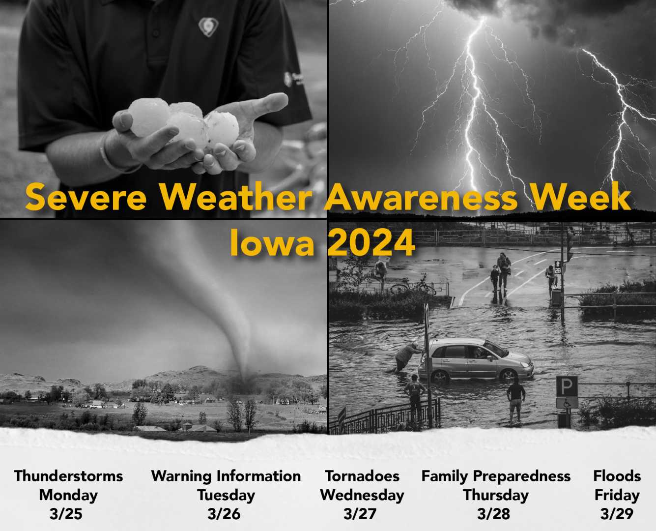
The Storm Prediction Center has noted a Slight Risk for severe weather across the state. The main threat is damaging winds, though large hail or an isolated tornado may also occur. Meteorologists are closely monitoring conditions as the day progresses, with new storm development expected between 2:00 p.m. and 5:00 p.m.
As storms strengthen into the evening, residents are advised to remain vigilant. If a storm approaches, seek shelter indoors and stay away from windows. The risk of flash flooding is significant, leading to a Flood Watch effective through at least Monday morning, particularly for areas prone to flooding.
Heavy rain is anticipated this weekend, with some areas possibly receiving over five inches. Residents should prepare for flash flooding by knowing their evacuation routes and having multiple ways to receive weather warnings, such as a NOAA Weather Radio.
Conditions are expected to remain cloudy and wet on Saturday night, contributing to the flood risk. The chance for storms may linger into early next week, but severe weather is less likely after Saturday.
Temperatures will cool slightly into the low 80s on Sunday, but heat and humidity are expected to return toward the end of next week.


