News
Severe Storms Forecasted for Southwest Florida This Thursday
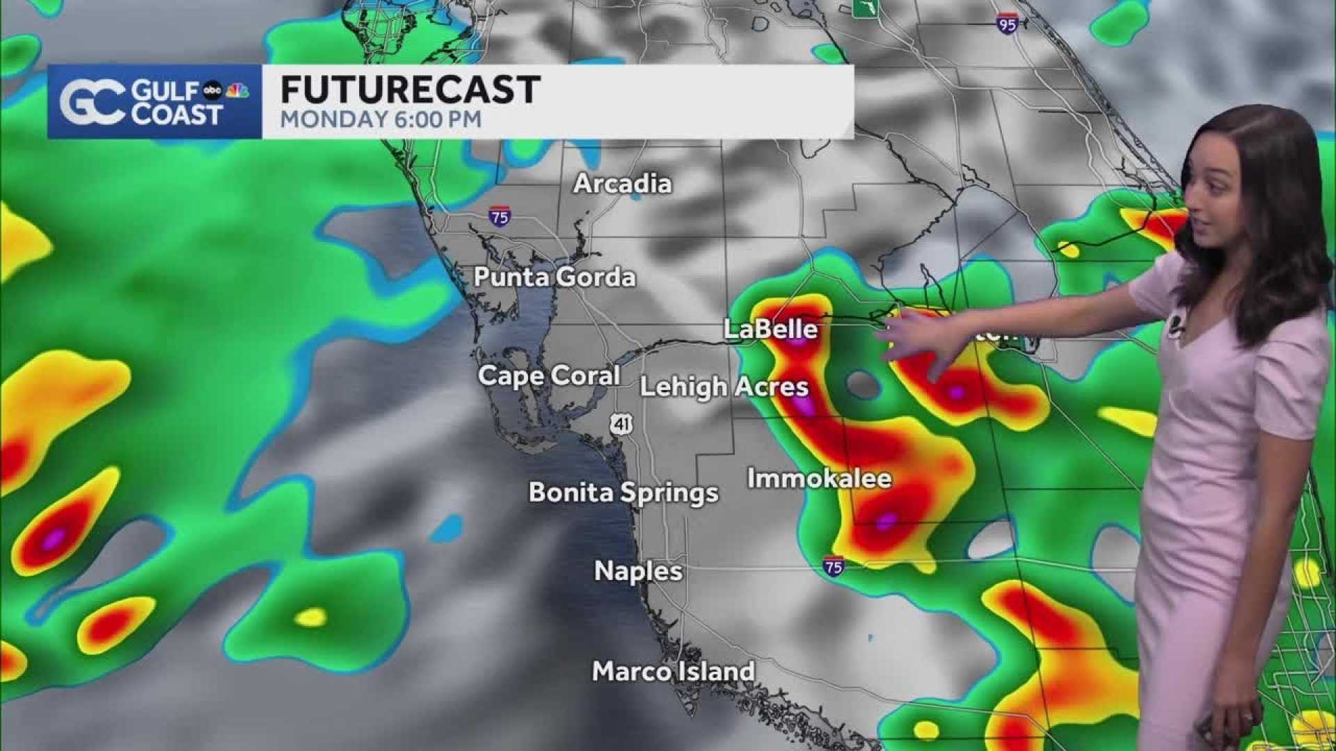
Fort Myers, Florida – The Weather Authority is monitoring strong storms that may affect Southwest Florida this Thursday afternoon. A Level 1 risk for severe weather was lifted for portions of the region by noon, but Sarasota and Charlotte counties remain under that warning for evening storms.
An area of low pressure is moving over the state, contributing to increased rain and storm chances. Strong storms with gusty winds and small hail are possible throughout the afternoon, with high temperatures expected to reach the lower 90s before the storms arrive.
Looking ahead, the Weather Authority forecasts another day of severe weather potential for Southwest Florida. A Level 1 risk will again cover the area, with isolated to scattered rain and storms expected to move onshore during the morning hours. These systems are likely to shift inland as the day progresses, with highs ranging from the upper 80s to lower 90s.
Additionally, a plume of Saharan dust is arriving, contributing to an overcast sky throughout the day on Saturday. This dust is bringing drier air to the region, which can enhance scattered storms later in the afternoon and evening. Gusty winds and lightning are anticipated to be the main threats, with high temperatures forecasted in the lower to mid-90s.
Stay tuned to local forecasts for updates as conditions can change rapidly.


