News
Severe Thunderstorms Threaten Tri-State Area This Weekend
STATEN ISLAND, N.Y. — Severe thunderstorms are set to impact the Tri-State Area on Saturday afternoon, bringing the risk of isolated tornadoes, damaging hail, and flash floods. Conditions will start muggy with temperatures in the 80s, similar to Friday’s weather.
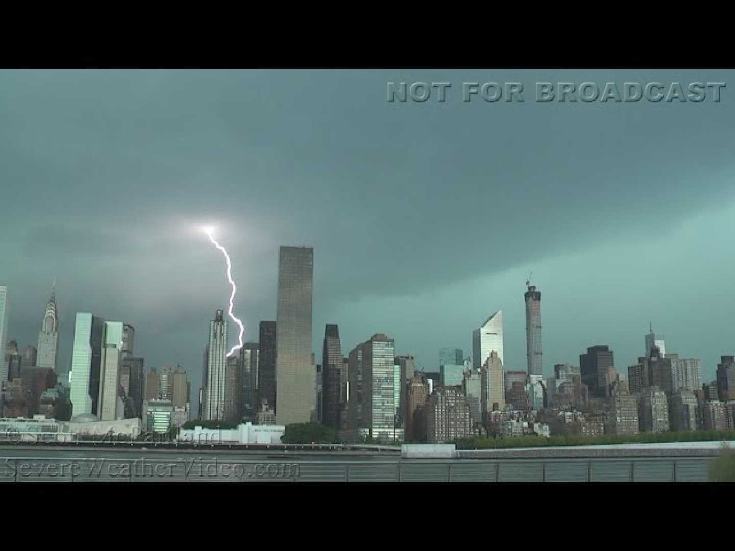
The storms are expected to be at their worst between 2 p.m. and 8 p.m., according to meteorologists. The primary threats include flash flooding, damaging winds, and hail, particularly in the lower Hudson Valley. Lightning is also anticipated during this storm window.
David Stark, a meteorologist, noted that high humidity and warm temperatures will create an unstable atmosphere conducive to severe storms. “If you have any outdoor plans, just keep an eye on the sky; weather may change fairly rapidly as we get into the afternoon,” he warned.
As a cold front approaches, residents may notice a noticeable increase in humidity throughout Saturday. Initial showers and storm conditions are predicted to develop in the early afternoon and become stronger as the day progresses.
The National Weather Service has issued a First Alert Weather Day for the area, particularly highlighting the threat of damaging winds and isolated tornadoes. Rainfall totals could range from 1 to 3 inches, with localized flooding expected in low-lying areas.
Following the intense weather, conditions will shift dramatically on Sunday, bringing cooler temperatures and a return to dry weather. Highs on Sunday may struggle to reach the low 70s, with diminished humidity and a persistent breeze.
Residents are advised to remain vigilant and prepared for possible power outages and road closures due to flooding. The storms may clear by Sunday afternoon, but lingering showers could persist into the morning in some areas.


