News
Severe Weather Alerts Issued as Wisconsin Faces Thunderstorms Today
MADISON, Wis. (WMTV) – Today marks a First Alert Weather Day across Wisconsin with very warm and humid conditions forecasted. High temperatures are expected to reach the middle to upper 80s, as a cold front approaches from the northwest.
This front is likely to trigger scattered showers and thunderstorms throughout the afternoon and evening. Some of these storms have the potential to be strong or severe, producing damaging winds and heavy rainfall. Isolated tornadoes cannot be ruled out as the system progresses.
Following the departure of the storms to the east, cooler and drier air will move into the region. Thursday morning will start with mostly cloudy skies, transitioning to partly cloudy by afternoon. Highs are projected to be around 70 degrees.
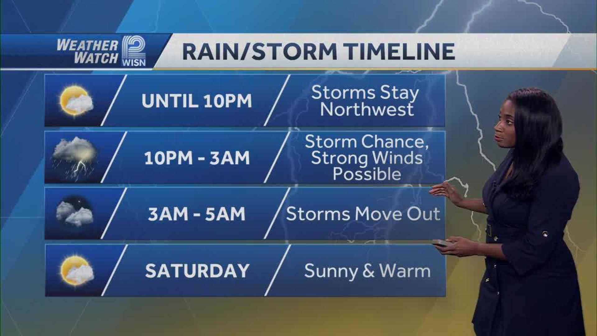
A gradual warming trend is expected through the week, with temperatures climbing back to near 80 degrees by Saturday. Another weather system will approach this weekend, which is forecasted to bring more chances of showers and thunderstorms.
Dry conditions are anticipated by the end of the weekend. Looking ahead to next week, temperatures are predicted to rise again, potentially reaching the upper 80s with increasing humidity by Tuesday and Wednesday.
For updates, download the WMTV15 News app or the WMTV15 First Alert weather app.


