News
Severe Weather Threats Loom in Nebraska and Midwest
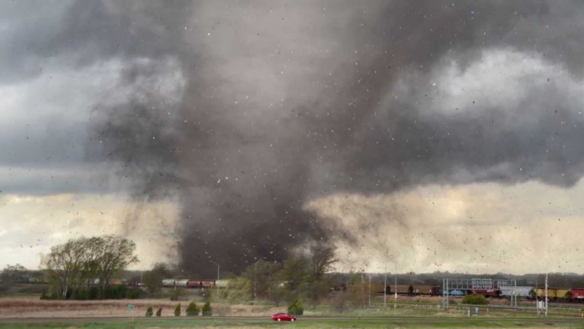
LINCOLN, Neb. (KOLN) – After several days of dangerous heat, significant storms are expected to impact Nebraska and surrounding states. A Weather Alert Day is in effect due to the forecast of severe weather on Monday.
Rain is likely to begin by Monday morning, with the most intense storms predicted for the afternoon and evening. The southeastern portion of Nebraska is at the highest risk, as conditions develop. Residents should prepare for damaging winds, isolated large hail, and potential tornadoes.
According to meteorologists, storms may continue into Tuesday morning with another round expected later in the day. Flash flooding is also a concern, with predictions estimating 2 to 4 inches of rainfall in eastern Nebraska.
Temperatures on Monday will be noticeably cooler, reaching the mid-70s to upper 80s, followed by lows in the 50s and 60s. By mid-week, conditions will dry out as temperatures rise into the 90s again.
In addition, MARQUETTE, Mich. (WLUC) reports similar weather forecasts as a cold front is predicted to generate strong storms across northern and central Wisconsin. A First Alert Weather Day has been called for areas on Sunday, with expected thunderstorms including threats of damaging winds and hail.
Across the region, weather should improve by the middle of the week, yet thunderstorms may return towards the Fourth of July, keeping residents on alert for sudden weather changes. With many outdoor events planned, staying informed about weather alerts is crucial.


