News
Snow Covers Tri-State Area, Causing Travel Delays
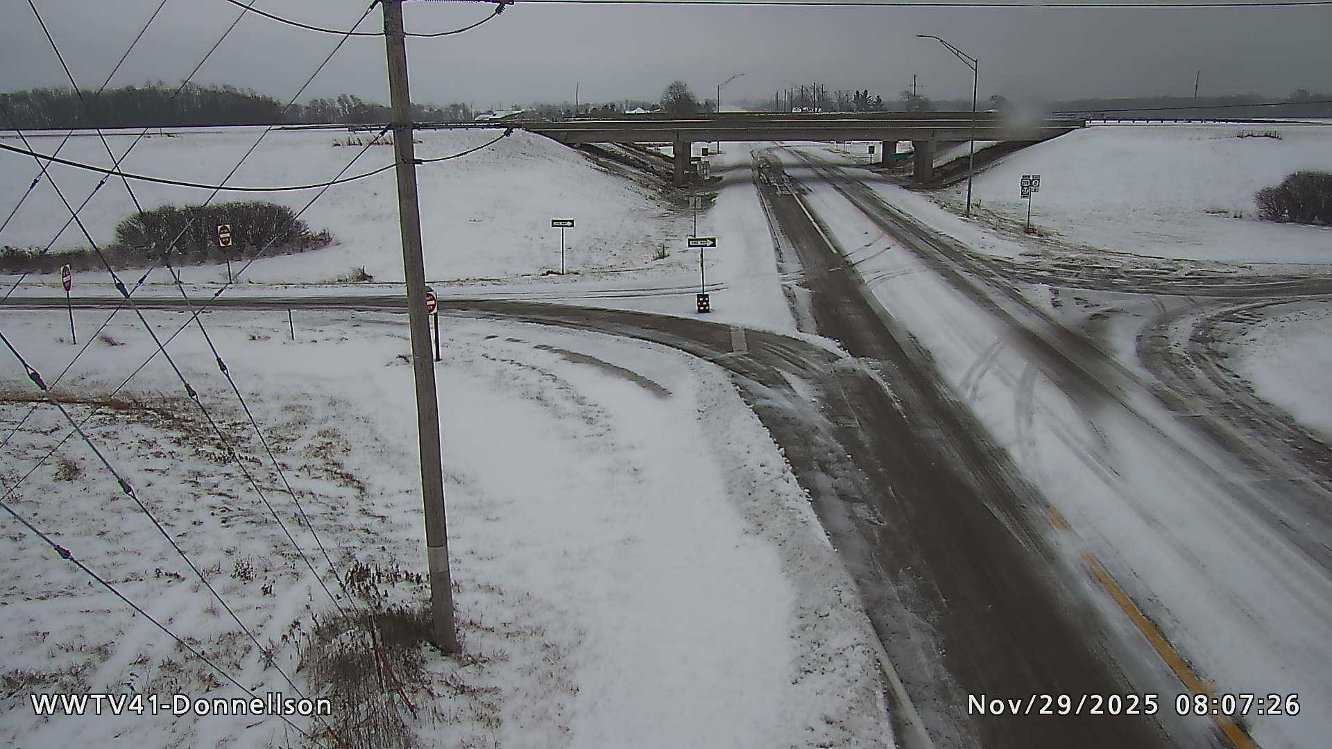
CINCINNATI, OHIO — Snow has blanketed the Tri-State area, affecting travel and leading to unsafe road conditions. The 9 First Warning Weather Alert Day continues as snowfall is expected to last until around 6 a.m. today.
Weather officials predict a total accumulation of 2 to 4 inches by the end of the snowfall. Drivers should prepare for longer travel times as roads are snow-covered, especially untreated ones. Snowfall is expected to taper off from west to east between 6 and 7 a.m., followed by an overcast sky for the remainder of the day.
Temperatures are forecasted to rise slowly to about 33 degrees later in the day. However, untreated roads may remain hazardous for much of the day. On the other hand, roads that are frequently traveled and treated may improve in conditions as the afternoon progresses.
This evening, the sky will clear slightly, but temperatures are projected to drop to the low 20s. Wednesday is expected to have mostly sunny to partly cloudy skies with highs in the mid 30s.
A weak cold front will pass through the region Wednesday night, increasing the chances of flurries during the overnight hours as temperatures dip to 26 degrees. Following this, Thursday will be colder with afternoon highs only reaching 30 degrees and nighttime lows plummeting to 14 degrees.
The next opportunity for light snow or a wintry mix is anticipated to arrive on Saturday night into Sunday.


