News
Severe Thunderstorm Warning Issued for Parts of New Hampshire
MANCHESTER, N.H. — A severe thunderstorm warning has been issued for parts of New Hampshire, affecting Sullivan, Grafton, Merrimack, and Belknap counties until 5:30 p.m. today.
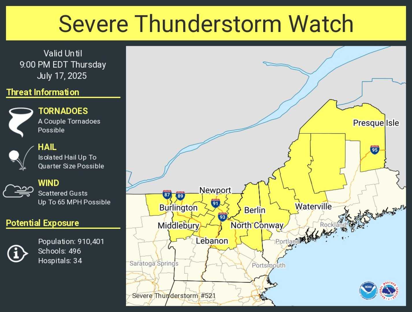
The National Weather Service warns that strong winds and hail are expected, along with the possibility of significant damage to vehicles, siding, trees, and roofs. A severe thunderstorm watch remains in effect for Belknap, Cheshire, Hillsborough, Sullivan, Strafford, Rockingham, and Merrimack counties until 9 p.m.
Meteorologist Jacqueline Thomas advises residents to stay weather-aware as thunderstorms move through the region. She noted that these storms could bring damaging winds and hail, along with frequent lightning and heavy rainfall.
The storms, expected to track from northwest to southeast, are anticipated to taper off after sunset, particularly along the coast. As conditions clear overnight, cooler and less humid weather will emerge into Monday. Highs in the upcoming week are predicted to remain in the 70s, providing a respite from the recent heat wave.
Thomas emphasized the difference between a severe thunderstorm watch and warning: a watch indicates conditions are favorable for severe storms, while a warning means severe storms are either occurring or imminent. Residents are encouraged to seek appropriate shelter if warnings are issued.
The severe weather system has caused heightened humidity in the area, heightening the likelihood of severe storms this afternoon and evening. As the day unfolds, updates will be provided through the free WMUR app, which offers alerts tailored to user locations.
Expect sunny and comfortable conditions to return toward the beginning of next week as heat and humidity begin to build again by late week.


