News
Arizona’s Monsoon Brings Storms, Dust, and Flood Risks This Week
PHOENIX, Arizona — After several false starts, Arizona’s monsoon is expected to finally deliver dramatic weather to Phoenix, with increased storm chances and strong winds starting August 25 and continuing into next week.
“We’ll see threats ranging from just about everything, with strong winds and even some localized heavy rain,” said Tom Frieders, a meteorologist with the National Weather Service in Phoenix.
The forecast predicts storm chances of 40% to as high as 70% across the region, especially in the afternoon on August 25. Southern Arizona will likely experience the first round of storms before the weather moves northward.
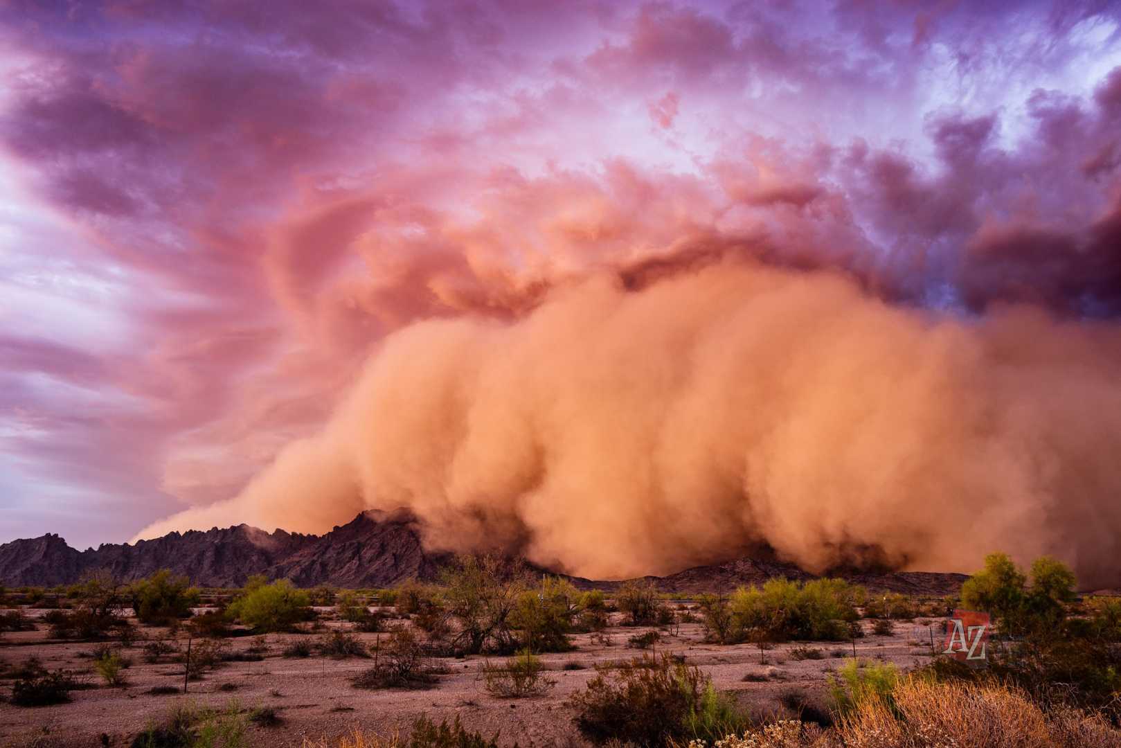
Forecasts indicate gusts of 35 mph or stronger, and areas of dense blowing dust are possible. The weather service has issued a flood watch for southern Arizona and southeast California, alongside a blowing dust advisory from 2 p.m. to 6 p.m. for much of southern Arizona. Visibility could drop to below a mile along I-10 and I-8.
Locally heavy rainfall could accumulate to 1 to 2 inches in certain areas. “Everything is setting up just right,” Frieders noted. “We’re getting a moist flow out of the south, bringing abundant moisture across the area.”
On August 26, storm chances will remain at about 30% to 50%, although coverage may not be as extensive. Frieders warned that a shift to a westerly flow later in the week could result in drier air, thereby clearing out the chance for thunderstorms after August 27.
Thanks to the influx of monsoonal moisture, temperatures could decrease, remaining in the low 100s or even high 90s throughout the week.


