News
Breezy Showers Expected in Baltimore as Virginia Faces Flooding
BALTIMORE, Md. — Meteorologist Ava Marie reports that a coastal low pressure system is bringing breezy showers to Baltimore tonight and into Wednesday. This weather phenomenon, sitting south of Maryland, has resulted in cooler temperatures, keeping highs in the 60s.
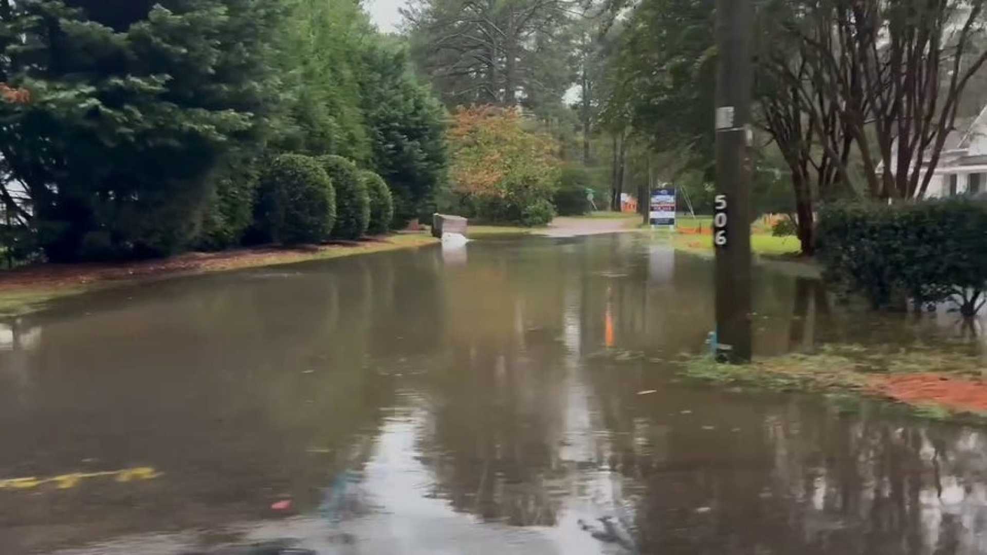
The coastal storm has severely impacted parts of Virginia, particularly Norfolk, where rain amounts have reached 3 to 7 inches, leading to significant flooding. The situation worsens with high tides, complicating drainage efforts in the affected areas.
Marie emphasizes the seriousness of the flooding events, stating, “Water is rising fast in Norfolk, especially with the upcoming high tide, making it difficult for drainage.” Meanwhile, a severe thunderstorm warning is in effect around Cape Charles in southern Virginia.
In contrast, the Baltimore area has seen less rain than its southern counterpart, with less than half an inch recorded northwest of the city. However, areas like Anne Arundel County are beginning to experience downpours. These showers are expected to slow the afternoon commute, particularly in northern areas.
Rain will continue on and off tonight, with forecasts indicating intermittent heavier showers, although most rain will remain light. Gusty winds have been reported, particularly at the beach with gusts exceeding 40 mph. Baltimore can expect sustained winds over 20 mph.
Temperatures will remain chilly, forecasting lows in the 60s. As we approach Thursday, the rain is expected to taper off, giving way to drier and warmer conditions over the following days, with highs returning to the 80s by Friday.
Looking further ahead, potential isolated showers may occur on Sunday and Monday. However, these are expected to be minimal, providing favorable weather for events like the Ravens game on Monday.


