News
Seattle Weather Surges with Record Heat before Fall Equinox
SEATTLE, Wash. — Record high temperatures returned to the Puget Sound region on September 16, when Seattle-Tacoma International Airport (SEA) hit 91 degrees. This heat, driven by warm easterly winds from the Cascades, matched a long-standing record.
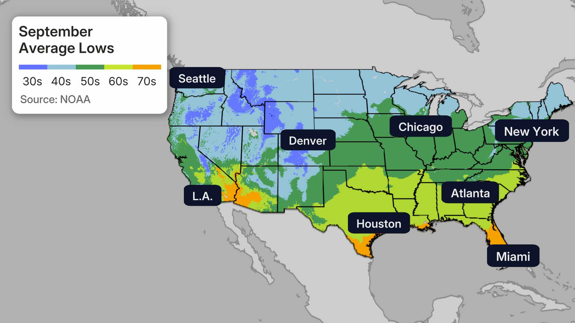
Despite a late summer warm-up, the weather has mostly remained mild with daytime temperatures averaging in the 70s, apart from Tuesday’s spike. By the end of this week, onshore winds from the Pacific are expected to cool temperatures back down.
This year’s count of 90-degree days has reached eight, matching the average for each year since 2015. Notably, Seattle averaged only three such days per year during the 20th century.
As summer draws to a close, the fall equinox approaches, set for September 22 at 11:16 a.m. This marks the transition to autumn, when daylight begins to decrease significantly. After the equinox, sunsets will gradually occur earlier, with the last 7 p.m. sunset looming on September 25.
In addition to changing daylight, a weather system this weekend is expected to bring clouds and rain, with temperatures likely dipping back into the 60s or low 70s. Rainfall is anticipated Saturday night into Sunday morning, although it may not be enough to alleviate drought conditions across the state.
The seasonal weather outlook hints at returning wet conditions as La Niña influences the upcoming fall and winter months. This phenomenon typically results in cooler and wetter winters in the Pacific Northwest, which could bolster mountain snowpack levels.
Ted Buehner, KIRO Newsradio meteorologist, urges outdoor enthusiasts to remain cautious in dry conditions. He emphasizes that while the rainfall is hoped for, it may only partially extinguish ongoing wildfire risks across the region.


