News
Coastal Showers and Afternoon Storms Expected in Central Florida
ORLANDO, Florida — Coastal showers are likely this morning in Central Florida, with rain and thunderstorms developing throughout the afternoon. While the weather is expected to shift later in the day, forecasters assure residents that a complete washout is not expected.
This morning, areas along the coast may experience light showers, particularly in northern Brevard County and southern Volusia County. Meteorologists noted that a few isolated heavier rain showers have already passed through parts of Ormond Beach and Daytona Beach, but many regions are enjoying a clear sunrise.
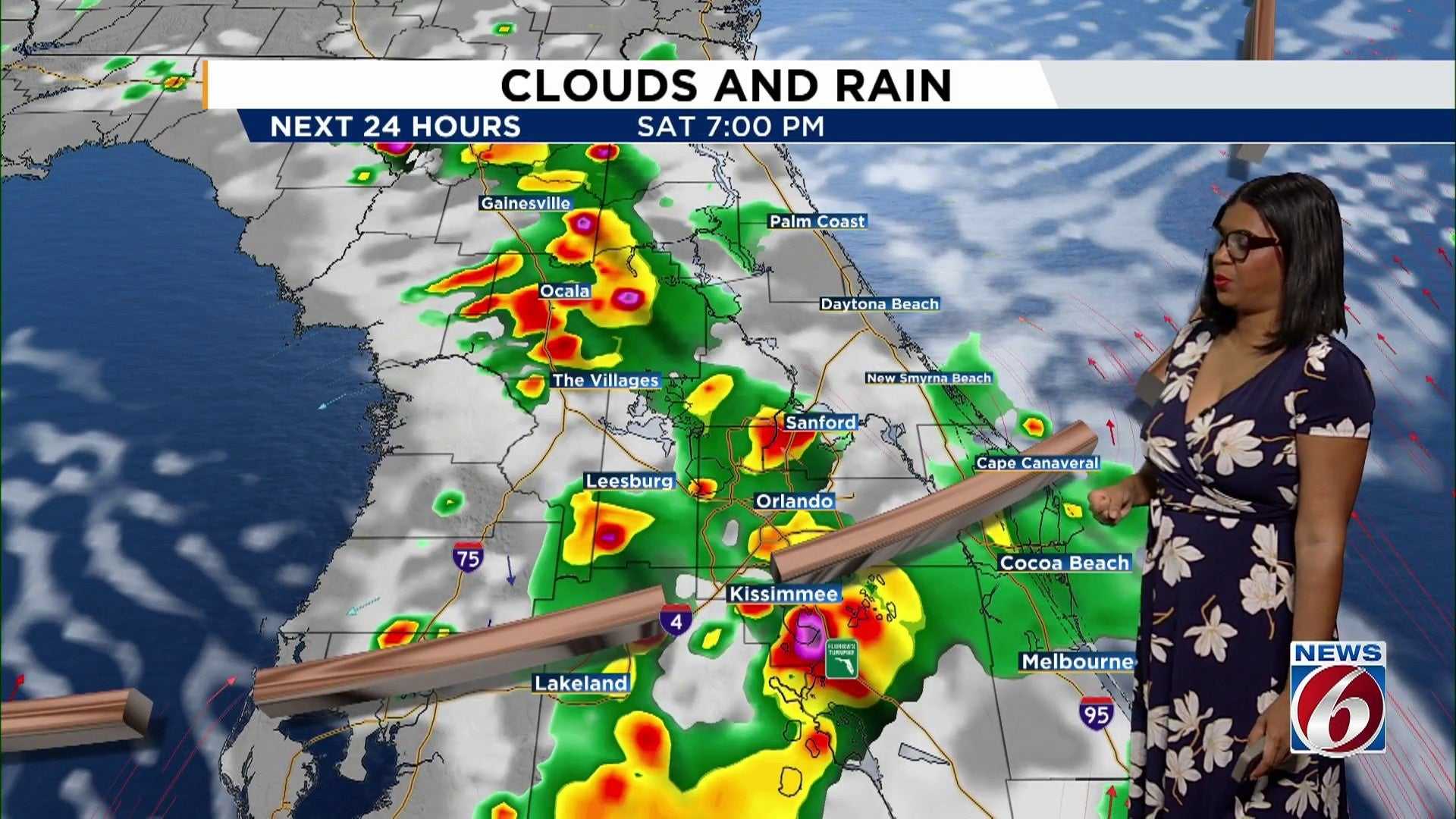
Inland areas are currently experiencing dry conditions, but cloud cover is expected to increase throughout the day. By 1:00 PM, scattered afternoon storms are anticipated, gradually ramping up into the early evening hours. Thunderstorms could begin to emerge around 4:00 PM, lingering in the metro area until approximately 7:00 PM.
Temperatures today are forecasted to reach the upper 80s and low 90s, which is near average for this time of year. Those planning to visit local beaches should remain cautious of a moderate risk of rip currents, with some lingering rain expected in the area.
This evening’s events, such as Halloween Horror Nights, may still see some storms initially; however, conditions should improve as the night progresses. By 10:00 PM, skies are expected to clear, providing drier conditions.
Looking ahead to tomorrow, a change in wind direction is predicted. The morning should remain dry along the coast, but as clouds build, rain chances will increase later in the day. With a 60% chance of precipitation, temperatures will again climb close to 90 degrees.
Overall, the forecast shows persistent rain and thunderstorms through the week, with a coverage of 50% to 60% until Tuesday, leading into potentially more significant rain midweek.


