News
Cram Fire Spreads Near Ashwood, Oregon, Evacuations Issued
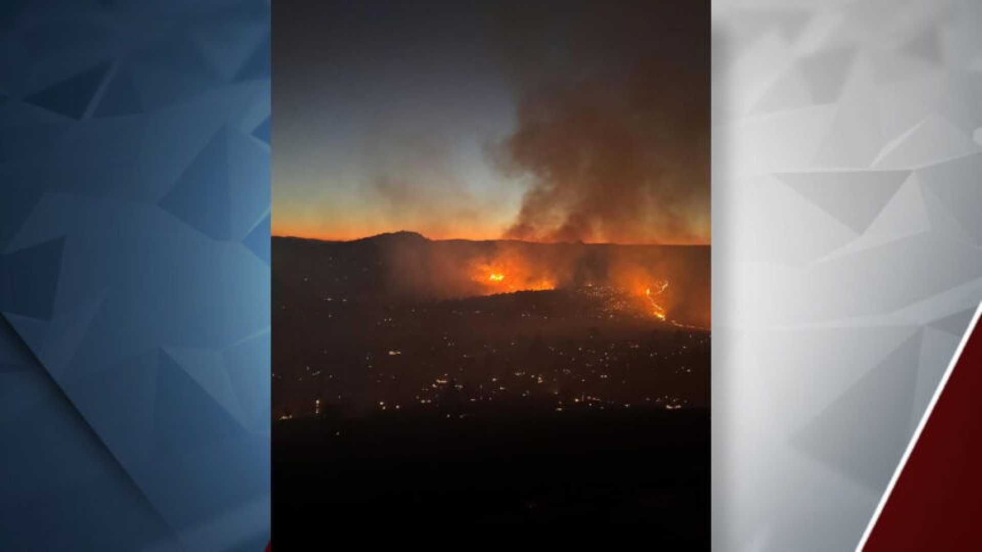
Central Oregon — The Cram Fire is rapidly spreading on private land protected by the Ashwood-Antelope Rangeland Fire Protection Association and Prineville BLM land. The fire began near mile post 76 on Highway 97 at Willowdale but has expanded significantly to the south and east due to strong winds and dry conditions today.
In response to the fire’s growth, emergency officials have increased evacuation orders in the surrounding areas. Firefighters from the BLM, Oregon Department of Forestry, and members of the RFPA are focusing their efforts on protecting homes and infrastructure, specifically on the west flank where dozers are constructing fire lines.
However, gusty afternoon winds have exacerbated the situation, forcing firefighters to divert resources toward structure protection in the community of Ashwood, Oregon. Engines from county and municipal fire departments across Central Oregon have joined efforts to secure the area.
Oregon Governor Tina Kotek has invoked a conflagration, mobilizing the Oregon State Fire Marshal’s Green Team to collaborate with a Type 3 Incident Management Team. The OSFM is working to protect neighborhoods and mitigate potential damage from the advancing fire.
The Jefferson and Wasco County Sheriffs have issued multiple evacuation levels. In Jefferson County, Level 3 (GO NOW) evacuations are in place for Ashwood and parts of NE 16 and NE 13, while Level 2 (BE READY) applies to NE 15 and the eastern part of NE 14. In Wasco County, Level 3 evacuations affect areas east of Highway 97 and south of Highway 293.
The Cram Fire was estimated at 4,500 acres and is currently 0% contained. Fire managers will provide updates as they obtain accurate mapping of the fire perimeter. For the latest information on wildfires in Central Oregon, visit @CentralORfire on X/Twitter.


