News
Extreme Heat Warning in Phoenix Ramps Up Temperatures
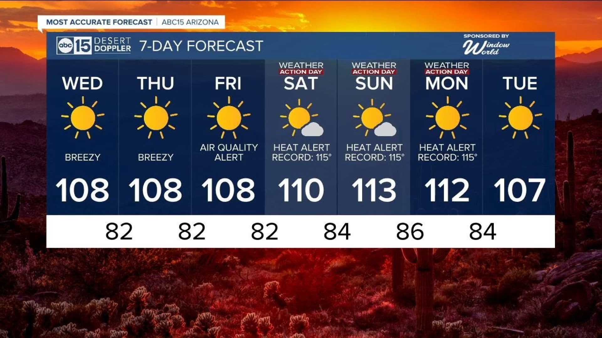
PHOENIX, Arizona — A severe heat wave is gripping Phoenix as an Extreme Heat Warning is in effect through Tuesday. Forecasters expect temperatures to soar between 113 and 117 degrees Fahrenheit across the Valley.
As of 3 p.m. today, Phoenix tied the record for the hottest day at 115 degrees. Tuesday is predicted to break previous records with a low of 92 degrees, surpassing the 2013 record warm low of 90. Temperatures on Tuesday are projected to reach 114 degrees, dangerously close to the record high of 115 set in 1990.
Health officials advise residents to take precautions amid the heat, urging them to stay hydrated, avoid outdoor activities during peak hours, and wear lightweight clothing. “If you need to be outside, take frequent breaks in the shade and reapply sunscreen often,” they recommend.
The intense heat is fueled by high pressure over the region, but a shift in patterns is bringing monsoon moisture, raising the chance of thunderstorms, especially in southeastern Arizona. This afternoon, storms are expected to develop in higher regions and move southwest later in the evening, bringing wind gusts that could reach 50 miles per hour.
For safety, anyone driving during potential dust storms should remember the mantra, “Pull aside, Stay alive.” Drivers should pull off the road, park their vehicle, and wait until visibility improves. Those with respiratory issues are urged to stay indoors.
By Wednesday evening, the Valley could see scattered storms with risks of heavy rain and flash flooding. Officials remind residents, “Turn Around, Don’t Drown” when encountering flooded roadways.
As the week progresses, storm chances are expected to decline as we approach the Fourth of July holiday weekend, leading to drier temperatures.


