News
Flood Watches Issued as Monsoon Storms Hit New Mexico Mountains
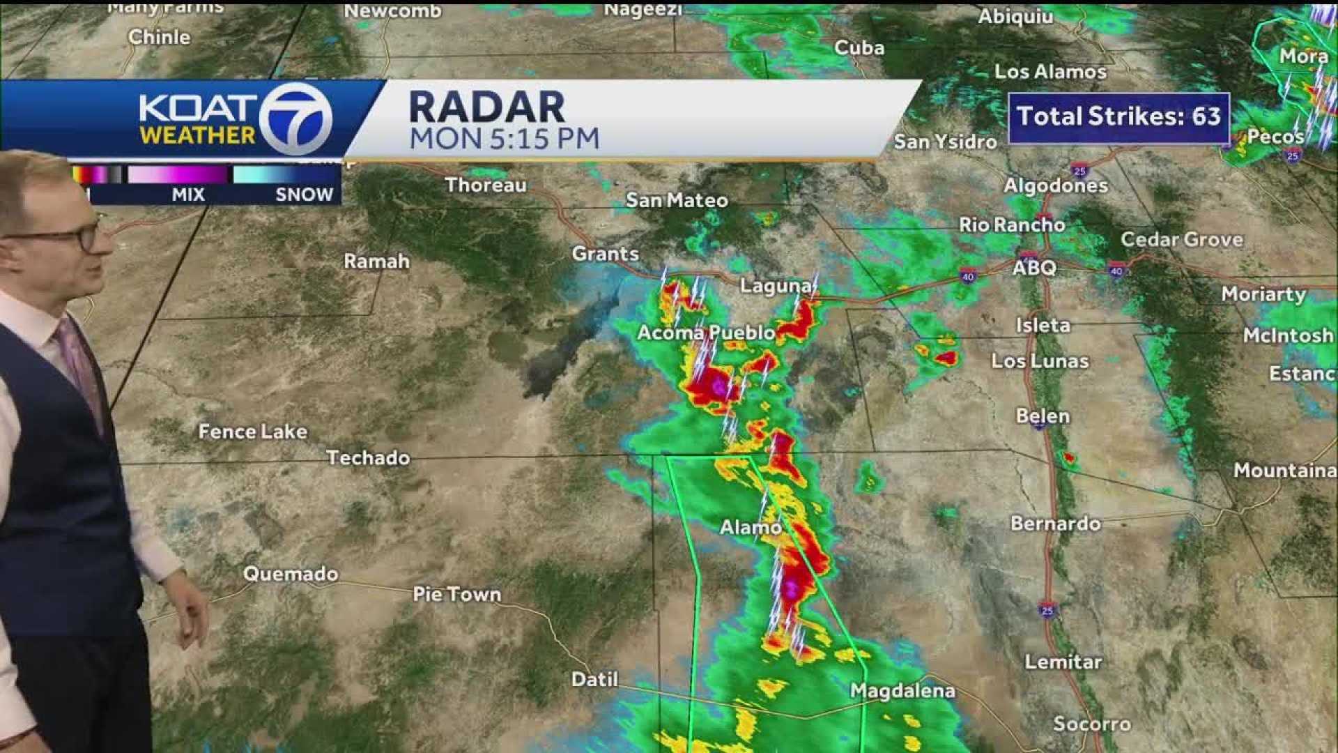
ALBUQUERQUE, N.M. — Monsoon storms are predicted to impact parts of New Mexico mountains this week, with flood watches already issued for the Sacramento Mountains and areas around Ruidoso. Heavy rainfall is expected, prompting concerns about flash flooding, particularly in areas impacted by recent wildfires.
The National Weather Service (NWS) has indicated that the ongoing moisture system, influenced by a low-pressure area over Southern California, is unusual for this time of year. Meteorologist Bryan Jackson described it as a type of weather pattern suited for monsoons, although not a classic one.
With the forecast pointing to scattered thunderstorms and downpours, areas in the southeastern part of the state could see precipitation totals reaching between one to two inches. Jackson warned that recent burn scars might increase flash flood risks, since the lack of vegetation makes the ground more prone to runoff.
Today, rainfall is forecasted mainly over eastern and central New Mexico, especially in the Four Corners region. As thunderstorms develop, damaging wind gusts and large hail could also be a concern in areas like Raton, Las Vegas, and Santa Rosa.
Flood watches are active until this evening, advising residents to be on alert for potential flash flooding in low-lying areas, as heavy rain can quickly overwhelm normally dry washes.
As the week progresses, storm chances are set to diminish, giving way to an extreme heat event expected to last several days. Forecasts predict temperatures climbing back into the 90s and possibly exceeding 100 degrees in some areas by Thursday.
Residents are encouraged to stay informed on weather updates as the storms develop and possible severe weather risks continue.


