News
La Niña Conditions Expected This Winter in Northern Michigan

NORTHERN MICHIGAN, USA — The Climate Prediction Center announced on Thursday that a La Niña weather pattern is expected for this winter. This follows a weak La Niña phase last year. Meteorologist Ethan Foreman explained that La Niña refers to a cool pool of water developing in the eastern Pacific Ocean.
Typically, trade winds push warmer waters toward Asia, but during La Niña, they force those warm waters further west. This shift results in cooler air in eastern Pacific areas, influencing winter weather patterns in places like northern Michigan.
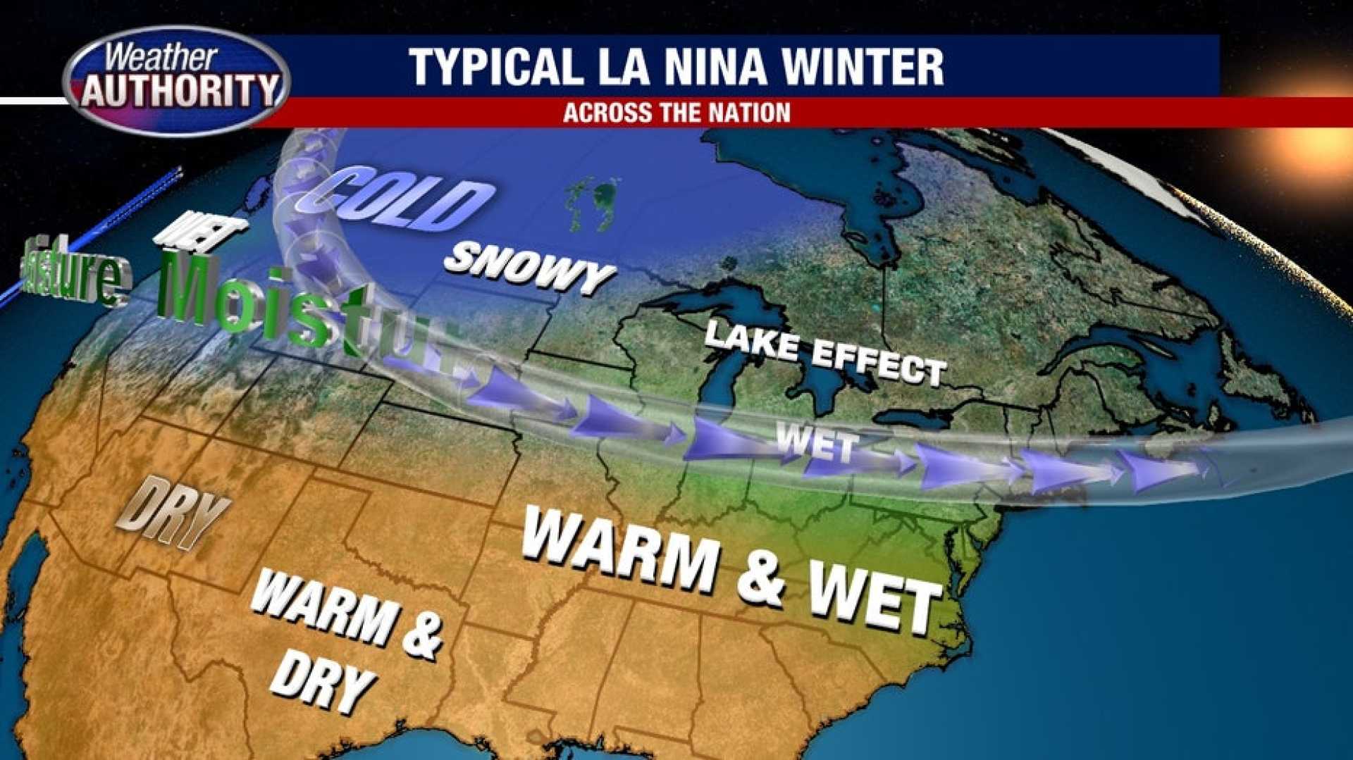
The prediction suggests a wetter than average winter over much of the Great Lakes region. Specifically, northwest lower Michigan and the Upper Peninsula are likely to experience near-average precipitation, while parts of the lower peninsula could see a 33 to 40 percent chance of above-average precipitation.
Last winter, during the La Niña event of the 2024-25 season, northern Michigan recorded significant snowfall. The National Weather Service in Gaylord reported that this past winter was the snowiest on record for the area, while Sault Ste. Marie and Houghton Lake also saw considerable snowfall.
According to the Climate Prediction Center, temperature forecasts indicate an equal possibility of near, above, and below-average temperatures for the Great Lakes and upper Midwest. This variation could result in extreme temperature changes throughout the winter, potentially enhancing lake effect snow.
As residents prepare for winter, weather watchers remain attentive to how these conditions will unfold in the coming months.


