News
Severe Thunderstorms Expected in Philadelphia Area on Thursday
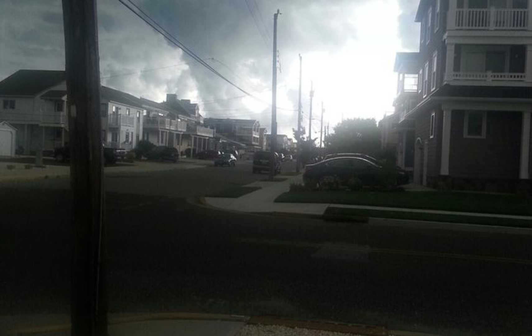
PHILADELPHIA, PA – The Philadelphia region is bracing for a wet Thursday as severe thunderstorms are forecasted to roll through the area. Meteorologists predict periods of heavy rain, isolated lightning, and a risk of damaging winds as storms begin in the morning and continue into the evening.
Wave after wave of steady rain is expected to impact the morning commute, particularly in areas north and west of Philadelphia. By afternoon, scattered thunderstorms are likely to develop, especially in southern regions. Some locations could see rainfall amounts reach one to two inches by day’s end.
According to the Storm Prediction Center, the area is under a level 1 risk for severe storms on Thursday. This includes potential damaging wind gusts, with a modest 2% chance of an isolated tornado. The heavy rains could also lead to localized flooding in some neighborhoods.
The unpredictable weather may disrupt evening plans, particularly for those attending the Phillies‘ home game against the Marlins at Citizens Bank Park.
Looking ahead, Friday and the weekend are expected to trend drier, but isolated showers cannot be ruled out as humidity will remain high. Forecast models signal a return of unsettled weather starting Sunday and into Monday.
Meanwhile, in the tropics, a newly named storm developed Wednesday. Current projections indicate it could strengthen to a major hurricane by early next week, though it is expected to remain offshore. The National Hurricane Center is also monitoring another system that could impact the Eastern Seaboard later next week.
Prepare for a wet Thursday with temperatures expected to reach a high of 78°F and a low of 71°F. The NEXT Weather Team will continue to provide updates on the evolving situation.


