News
Severe Weather Threat Looms for Houston This Weekend
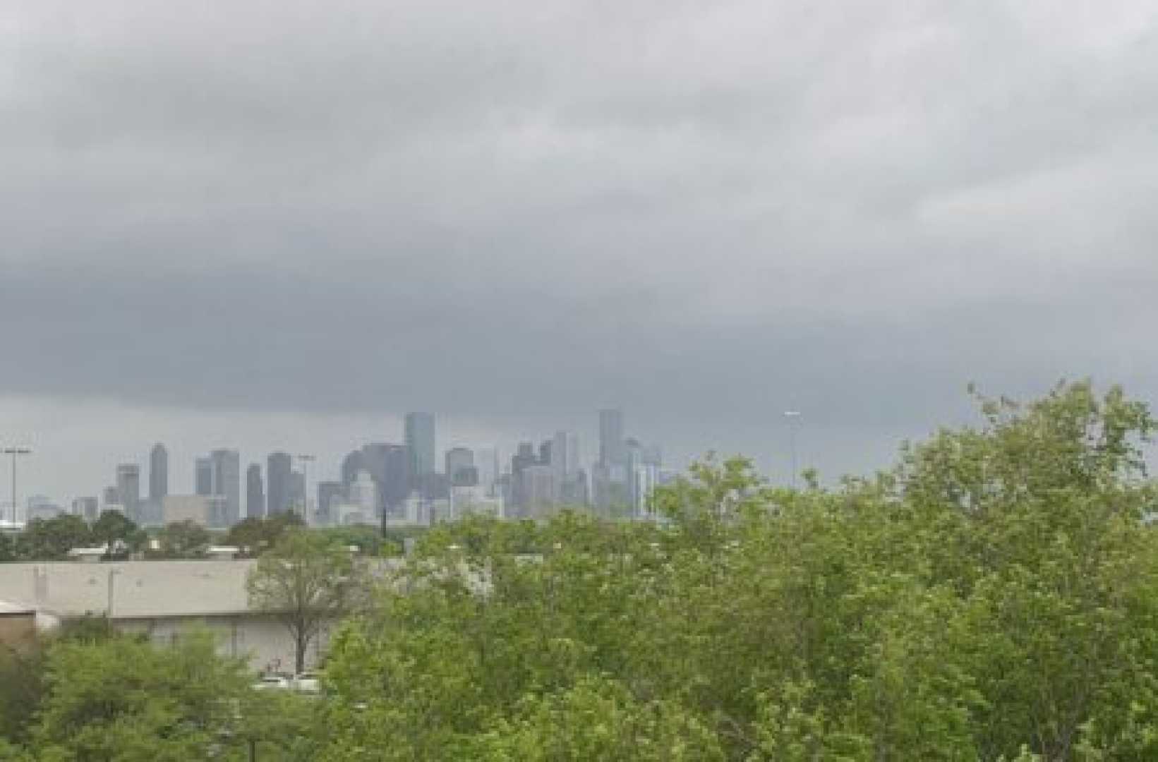
HOUSTON, Texas — Meteorologists are tracking severe weather approaching the Houston area this weekend, following a week of high humidity and scattered rain.
Residents can expect light rain showers on Saturday morning, though they should not cause significant disruption. The National Weather Service predicts that rain will drift inland by afternoon, increasing the chance of scattered thunderstorms around 2 PM.
These thunderstorms are described as pre-frontal, meaning they develop as the atmosphere heats up during the day. By 5 PM, stronger storms may arrive, bringing heavy downpours and potential lightning strikes, especially northeast of Houston. The possibility of damaging winds will also be a concern.
By 9 PM on Saturday, a cold front is expected to move through the area, starting with cities like Huntsville, Conroe, Brenham, and Tomball. This front will reach Houston around 11 PM, which could result in a noisy night with strong winds and flashing lightning.
Once the cold front passes, the area will likely see dry weather on Sunday, along with a drop in humidity, contributing to an increased fire risk across southeastern Texas. Local authorities are already placing burn bans in effect as the dry conditions persist.
Looking ahead, multiple cold fronts are expected throughout the upcoming week. These fronts could lead to significant weather changes, reducing highs to the mid-80s and continuing to enforce fire risk monitoring.
For updates on the incoming storms, residents are encouraged to stay informed through local weather services.


