News
Severe Winter Storms Hit Upstate New York This Weekend
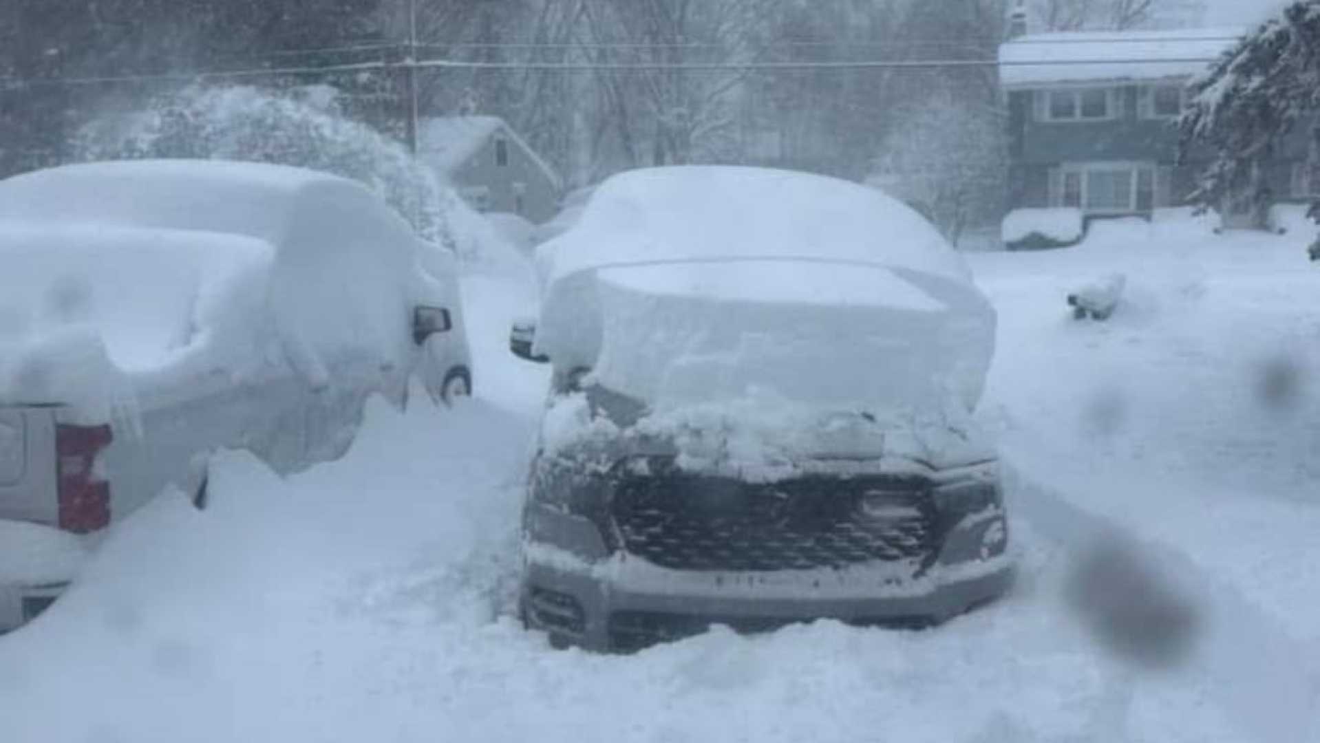
UTICA, New York — Upstate New York braces for severe winter weather this weekend, with the National Weather Service predicting heavy lake effect snowfall and ice accumulation from Saturday evening through Monday. This follows a challenging winter marked by back-to-back storms.
The weather forecast indicates that regions around Onondaga and Oswego counties could see snow totals reach up to two feet, particularly in areas impacted by persistent lake effect bands. In contrast, locations just a few miles away may receive significantly less snow due to the quasi-stationary nature of these systems.
“Strong lake effect snow did not shift as far south as we had anticipated,” said meteorologist Peter Hall. “This resulted in certain areas, like Oswego and northern Onondaga counties, receiving several feet of snow while nearby locations saw much lighter accumulations.”
The situation is complicated by an approaching wintry mix expected to begin midday Saturday, transitioning to sleet and freezing rain overnight. Hall expressed concern for areas near Oneida Lake, where extended periods of freezing rain could lead to significant ice build-up and potentially dangerous travel conditions.
According to the forecast, Central New York may see 2 to 4 inches of new snow through midday Sunday, with higher amounts in the northern areas. Additional precipitation will accompany strong winds, which are expected to gust between 40 and 60 mph on Sunday evening, creating hazardous conditions.
“Travel could be nearly impossible during periods of heavy snowfall and ice,” Hall warned. “Power outages are likely due to downed trees and power lines.”
A plethora of weather alerts remain in effect, signaling the potential for severe conditions. The winter storm warning is set to continue until early Sunday, with lake effect snow warnings lingering longer in specific regions.
“Snowfall rates in the heaviest bands could reach 1 to 2 inches per hour,” Hall added. “This places significant risk on commutes both Sunday morning and evening.”
With the forecast indicating the persistence of winter conditions, residents are encouraged to remain prepared for possible power outages and travel disruptions. “Make sure you have an emergency kit ready,” Hall advised.
As this winter season has shown, lake effect snow patterns can shift quickly and with little warning. The combination of cold air moving into the region and strong winds will likely contribute to the degree of snowfall and ice accumulation experienced over the weekend.
As of now, weather officials are advising motorists to postpone unessential travel and closely monitor updates on the changing winter weather conditions. The ongoing series of winter storms have made 2025 one of the most snow-laden years for upstate New York.


