News
Snow Expected to Hit Columbus, Ohio on Tuesday Morning
COLUMBUS, Ohio (WSYX) — Central Ohio residents should prepare for snow as a new winter system approaches on Monday evening. The National Weather Service predicts that snow showers will begin late Monday and continue into Tuesday morning.
Temperatures are expected to drop significantly throughout the day, starting at around 40 degrees and falling below freezing by afternoon due to a passing cold front. Strong winds from the west at 15-25 mph will make it feel even colder.
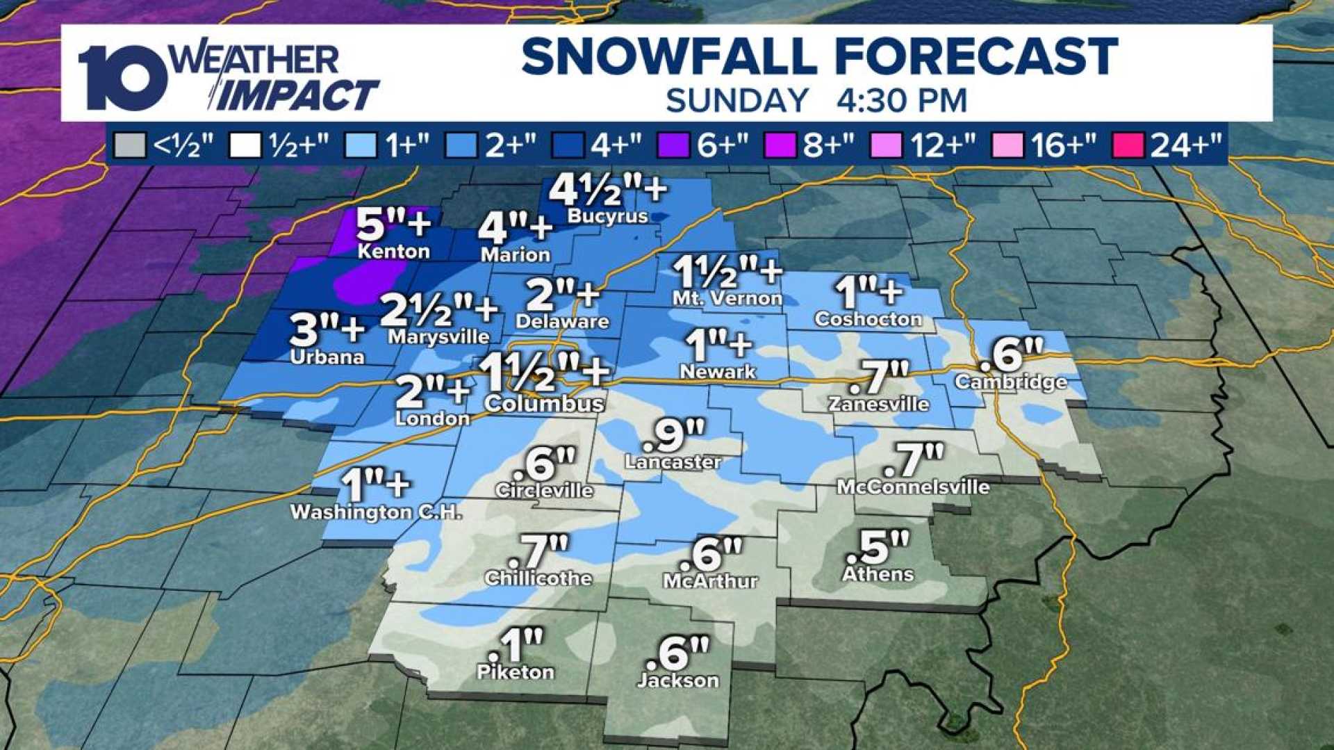
Meteorologists estimate that areas across Central Ohio could see 1 to 2 inches of snow, with lesser amounts in the northwest and potentially more in the southeastern regions. The worst of the snowfall will likely occur early Tuesday morning, creating slippery conditions for the morning commute.
“Roads could be slippery for Tuesday morning,” a local meteorologist stated. “We’ll continue to monitor the snowfall totals as the system approaches.”
Following a brief respite from winter weather on Monday, residents can expect mostly cloudy skies with a high temperature around 35 degrees. Snow flurries are forecasted for later in the day.
Looking further ahead, additional snow is possible late in the week with more wintry weather expected to sweep through Central Ohio, including flurries on Thursday and a potential winter storm from Friday into Saturday.
As the situation develops, monitoring weather updates will be crucial for safe travel across the region.


