News
Storms Expected Overnight in Southeast Wisconsin
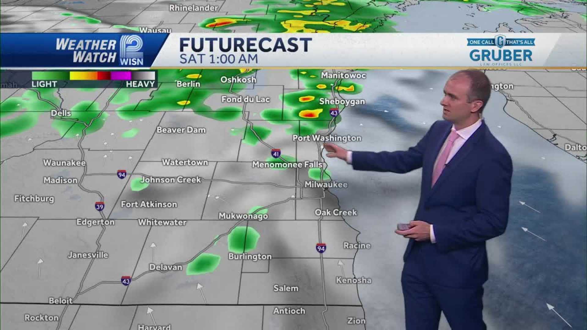
MILWAUKEE, Wisconsin — A cluster of showers and thunderstorms is forecast to move into Southeast Wisconsin overnight into Saturday morning. The National Weather Service warns of possible brief downpours, gusty winds, and small hail.
Weather officials noted that rain is expected to develop after midnight, with heightened storm chances lingering into the morning. A level one out of five threat has been issued, indicating a low risk for severe weather, but locals should remain alert for gusty winds and isolated hail.
“Overnight, those who are out late could see some rain starting around 2:00 AM,” a meteorologist stated in a weather update. “As we head into daybreak, you might encounter wet pavements and thunderstorms.”
Saturday afternoon should bring clearer skies and mild temperatures, with highs hovering around 75 degrees. Sunday and Monday are also expected to be pleasant, with plenty of sunshine and temperatures reaching into the mid-80s.
In the meantime, residents are urged to keep their rain gear handy for Saturday morning. While normal summer patterns are anticipated for Sunday and into next week, scattered showers could return on Tuesday before another chance of precipitation by the upcoming weekend.
“We could get really close to 80 inland by the weekend,” the meteorologist added. “We’ll be sure to keep you updated on any changes to the forecast.”


