World
Tropical Cyclone Yagi Approaching Hong Kong

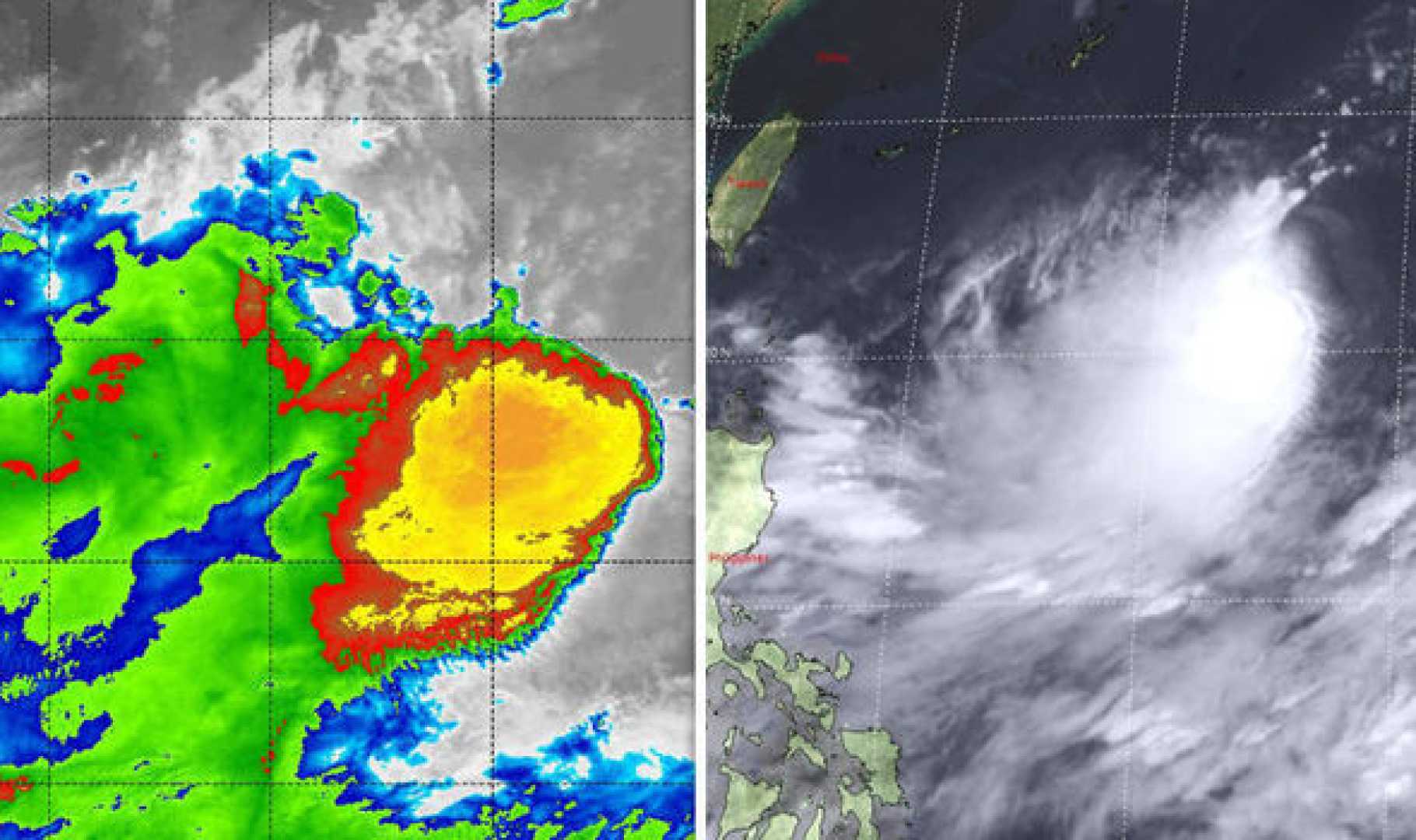
Tropical Cyclone Yagi is currently developing off the coast of the Philippines and is expected to approach Hong Kong later this week, according to the Hong Kong Observatory.
The Observatory reported on Sunday that an area of low pressure will strengthen and move towards Luzon over the next few days before its entry into the northern part of the South China Sea.
Yagi is forecasted to drift closer to the coast of Southern China as the week progresses. The name Yagi translates to ‘goat’ in Japanese and was previously used to designate a typhoon in 2018.
Under the influence of Yagi, unsettled weather conditions are anticipated in Hong Kong towards the end of the week. The forecast indicates that Yagi will transform from a tropical depression to a tropical storm on Monday, and will further strengthen to a severe tropical storm on Tuesday, coming within 800 kilometers of Hong Kong.
On Thursday, Yagi is expected to become a typhoon and be located within 400 kilometers of the city, with maximum wind speeds reaching 120 kilometers per hour at its center. By Friday, it will be within 300 kilometers, boasting wind speeds of up to 145 kilometers per hour.
The forecaster also mentioned the possibility of the tropical depression shifting towards Taiwan and the East China Sea after crossing Luzon. Increased rainfall in Hong Kong is forecasted from Thursday to the following Monday, while temperatures are expected to remain high, around 32 degrees Celsius (89.6 Fahrenheit).
Last week, the Observatory warned that there could be three to five more typhoons this year within a 500-kilometer radius of Hong Kong. Notably, only five typhoons formed in the northwest Pacific and South China Sea during the first seven months of the year, which is about half of the long-term average of roughly ten typhoons.


