News
Severe Thunderstorm Watch Issued for Eastern Nebraska and Western Iowa
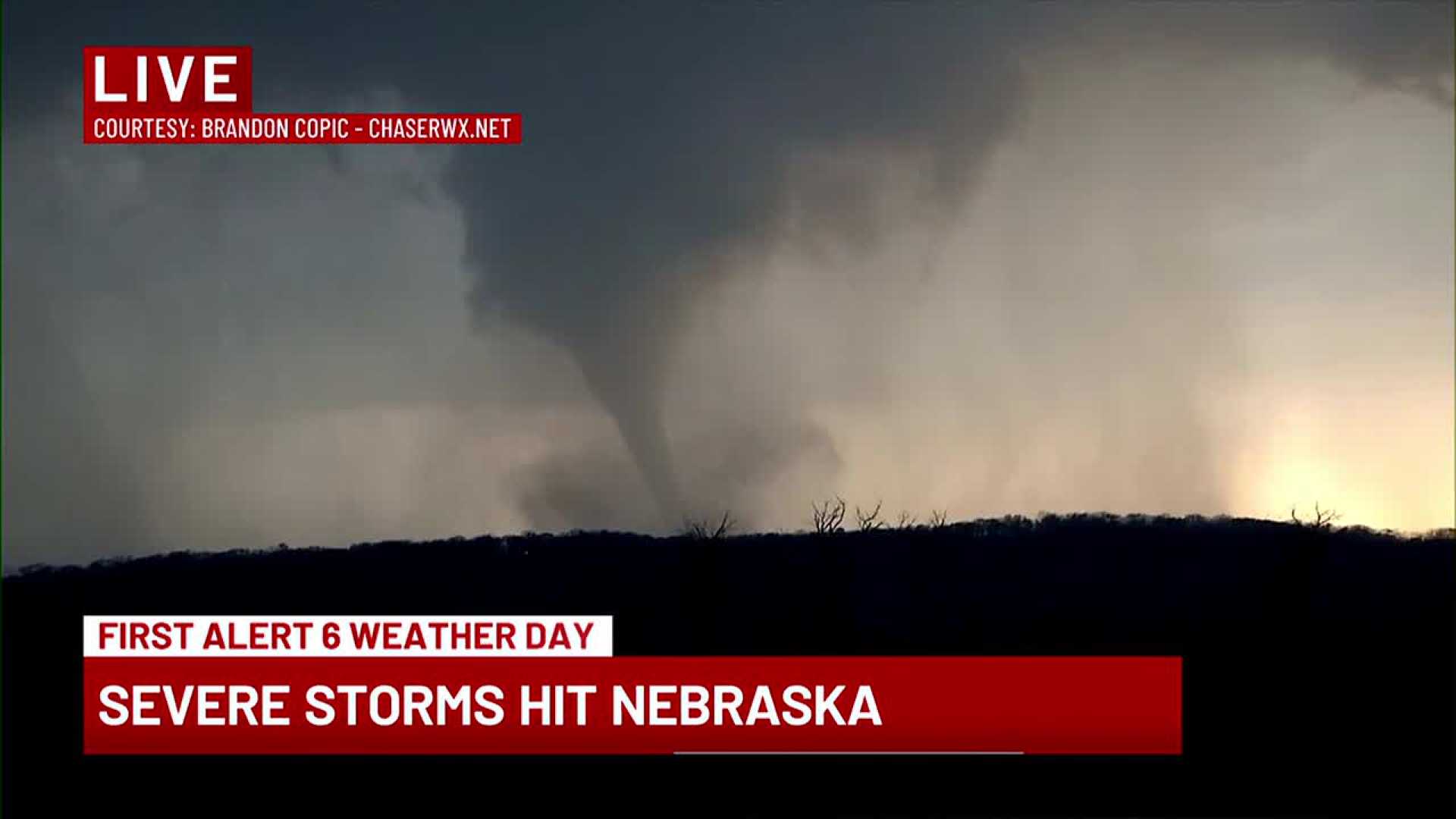
OMAHA, Neb. (WOWT) – A Severe Thunderstorm Watch has been extended across most of eastern Nebraska and western Iowa, effective until 4 AM. The storms are expected to produce strong winds and hail as they progress southward.
The First Alert 6 Weather Team is monitoring potential severe storms that may hit the metro after 9 PM, with the primary threat being wind gusts exceeding 60 mph. Storms in the region have remained robust, prompting the watch, which has expanded to include parts of the northern counties by 7 PM.
As of 6:30 PM, the strongest storm activity is moving out of South Dakota but appears on a track towards Nebraska, encountering cooler air along the way. This weather dynamic introduces some uncertainty about the severity of the storms.
The anticipated arrival time for the storms in the metro is around 10:30-11 PM. Spotty storm activity may occur earlier but is less likely to impact the main urban areas.
Heavy rain could fall where thunderstorms pass, with forecasts estimating up to 1.5 inches in some areas. However, it also indicates amounts could drop to zero where storms miss areas entirely. Showers could linger into Tuesday morning before clouds gradually clear, leading into a warm, humid day in the mid-80s.
As the week progresses, warmer temperatures will continue, with additional storm chances forecast for Thursday and Friday.


