News
Cold Front Brings Changes to Chicago Weather This Week
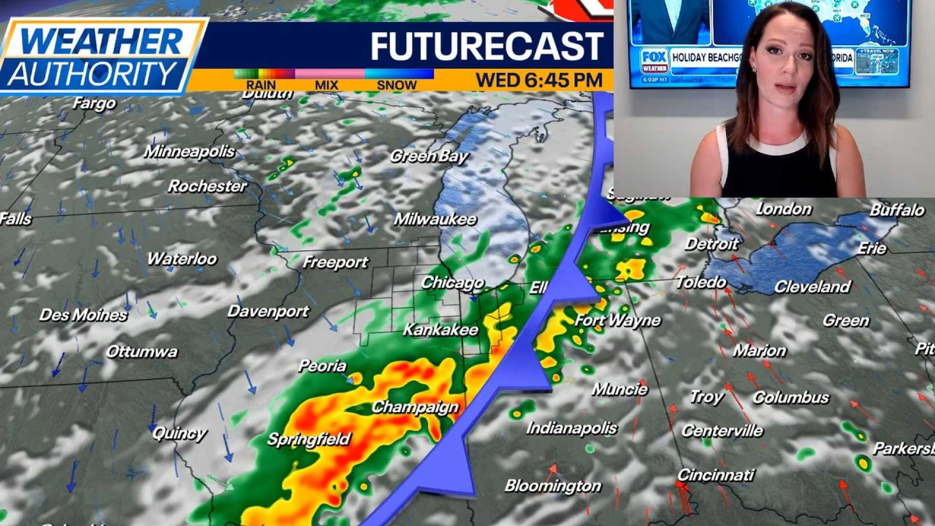
CHICAGO, Illinois — A strong cold front is set to sweep through the Chicago area this week, bringing significant changes in weather, according to the National Weather Service.
On Tuesday, the region will experience a warm and sunny day with highs reaching near 83 degrees. However, conditions will shift when the cold front arrives on Wednesday, expected to bring showers and thunderstorms, particularly from midday to the afternoon.
According to the forecast, the chance of precipitation on Wednesday is 80%. Any storms that develop could produce heavy rain, with rainfall amounts between a quarter to half an inch possible. High temperatures will still hover around the mid to upper 70s.
Following the cold front, temperatures will drop significantly. Thursday is expected to be the coolest day of the week, with highs struggling to reach the mid-60s and morning lows in the 40s. Skies are expected to be mostly sunny to partly cloudy.
A weak system moving through on Friday may bring a few stray showers, but most of the day will remain dry under cloudy skies, with temperatures again in the mid-60s.
Looking ahead to the weekend, forecasters predict a return to pleasant weather, with sunny skies and highs in the upper 60s to low 70s. Saturday and Sunday promise ideal conditions for outdoor activities.
As meteorological fall begins, these changes in temperature are notable, especially with the potential for record lows as parts of the region may drop to the low 40s overnight Friday and Saturday. Weather patterns indicate a slow warming trend in the coming week after this initial cool down.


