News
Heat Advisory Issued as Severe Weather Looms in Minnesota
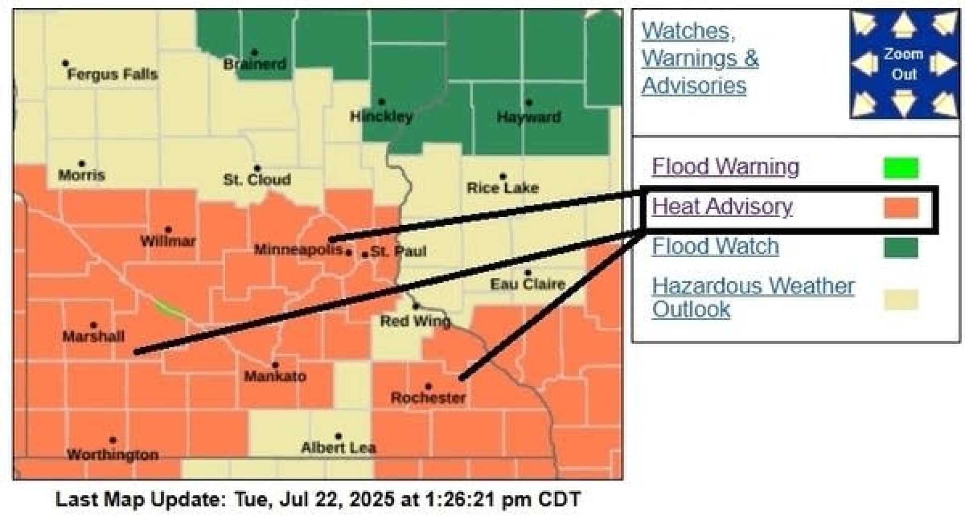
MINNEAPOLIS, MN – A heat advisory is in effect for the Twin Cities and southern Minnesota on Wednesday, with the heat index expected to soar near 100 degrees. The advisory runs from noon until 8 p.m.
Temperatures across central and southern Minnesota will rise into the mid and upper 80s, while areas to the north will experience cooler readings in the 70s. The forecasted high for the Twin Cities metro is around 89 degrees. By afternoon, the heat index could approach the triple digits, prompting concerns for heat-related illnesses.
In addition to the heat, there is a chance of scattered thunderstorms in the metro area later today. Meteorologists have issued a level 2 risk for severe weather, indicating potential for damaging winds, hail, and locally heavy rain.
According to the National Weather Service, scattered storms may linger into Thursday morning, followed by a clear day with highs in the 80s. A brief drop in humidity is expected on Friday, but temperatures will rise again over the weekend, bringing back the muggy summer weather.
“As meteorologists, we always prepare for both heat and the potential for severe weather during these hot days,” said a local forecaster. “Keeping hydrated and staying informed on weather alerts is crucial during this time.”
Looking ahead, the weather pattern is expected to display typical summer conditions, with more heat, humidity, and the possibility of thunderstorms. These storms may continue into the upcoming week, particularly late Sunday and Monday night.
As the heat advisory persists, residents are urged to take precautions such as staying hydrated, remaining indoors during peak heat, and checking in on vulnerable neighbors.


