News
Heavy Rain and Hurricane Erin to Hit New York City This Week
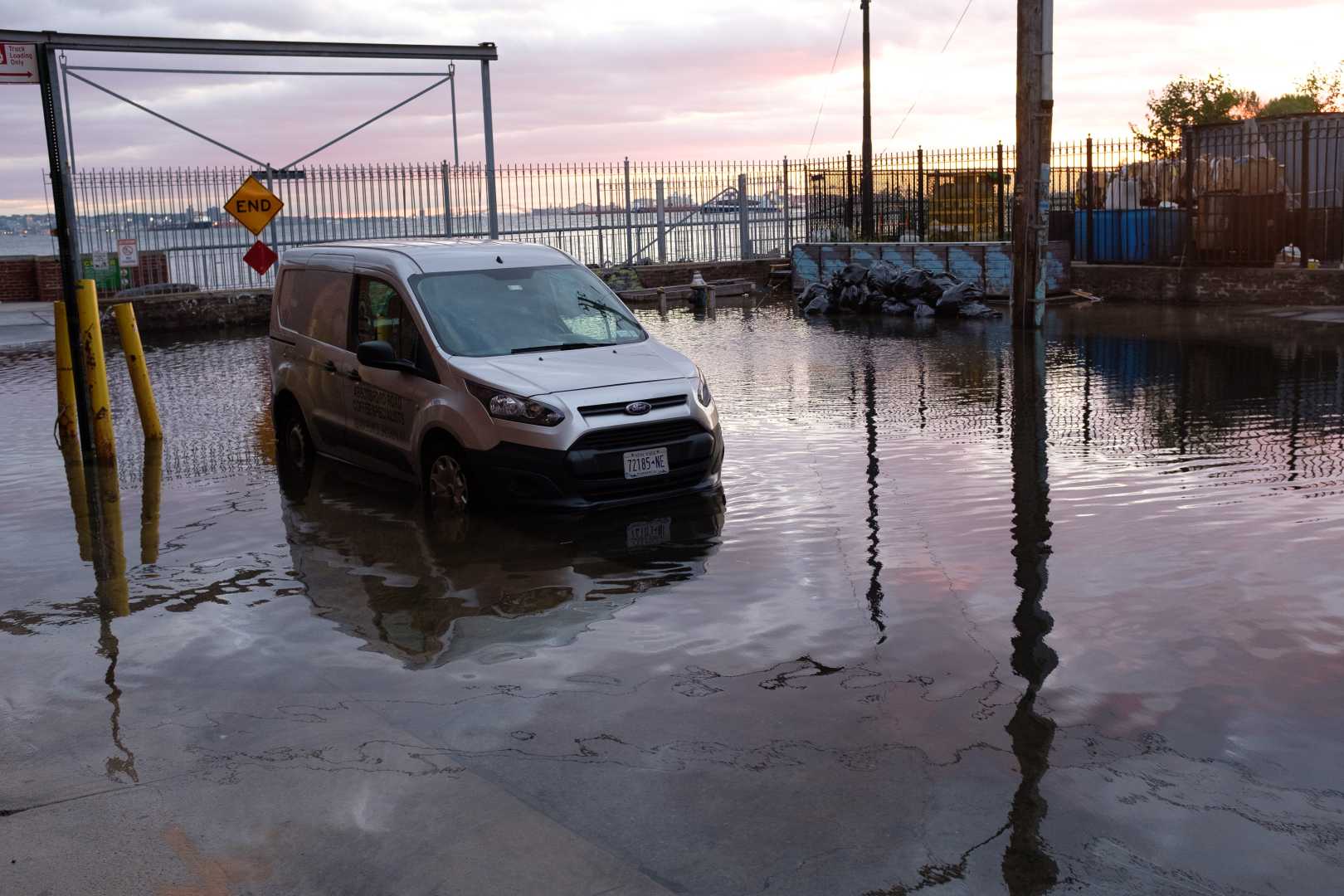
NEW YORK CITY — Heavy rain is forecasted from Wednesday into Thursday, bringing the risk of flooding across New York City and surrounding regions. The National Weather Service has issued a First Alert Weather Day as it tracks the timing and severity of the storm.
Rainfall rates may reach up to 1 inch per hour during the overnight hours, which raises concerns for flash flooding. Wednesday’s high temperatures are expected to remain in the low 70s, with the rain gradually tapering off by Thursday late morning.
Final rainfall totals could average between 1 to 2 inches, with some areas potentially experiencing higher amounts. The storm, Hurricane Erin, is anticipated to remain about 350 to 450 miles offshore, which means while direct impacts may be minimal, indirect effects like dangerous surf and high winds are likely.
Wind gusts are expected to reach between 35 to 50 mph, potentially causing downed trees and power lines due to the saturated ground conditions. The effects from Erin will be felt most significantly along New York City’s coastline and the southern shore of Long Island.
Gusty winds combined with high surf are projected to reach as high as 15 feet in some locations, prompting a Coastal Flood Watch for south-facing New York beaches and the Jersey Shore from Thursday into Friday.
New Jersey Governor Phil Murphy declared a state of emergency on Thursday, anticipating sustained winds of up to 50 mph and waves that could reach 17 feet in flood-prone areas. “Today and tomorrow will be no exception,” Murphy warned, urging residents to stay informed about local weather forecasts and evacuation protocols.
Authorities have advised people to stay away from the water, as conditions could become dangerous due to strong rip currents and high surf. The storm’s indirect impacts are already influencing towns along the Jersey Shore, where residents are preparing for potential flooding.
In Sea Bright, residents have expressed hope that protective barriers will help shield them from potential damage. Meanwhile, areas like Long Island’s south-facing beaches expect similar hazards, prompting officials to close several beach areas to swimming until conditions improve.
As Hurricane Erin continues on its path, officials are encouraging coastal communities to prepare adequately, including securing outdoor belongings and monitoring local weather updates. The main impacts from the storm are expected to last into Friday.


