News
Icy Conditions Grip Baltimore Region, Threaten Morning Commute
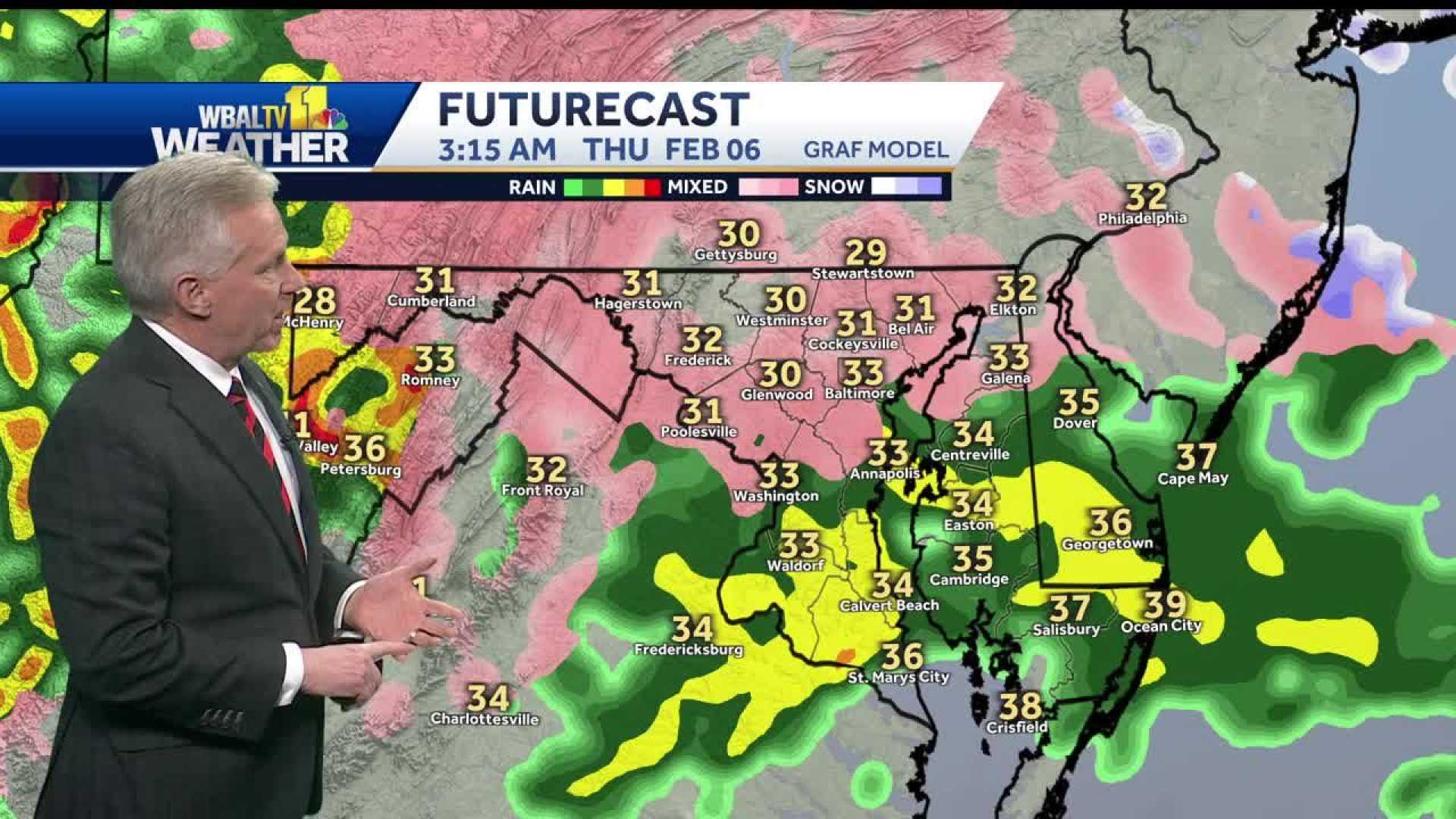
BALTIMORE, Md. — A winter weather system brought icy conditions to the Baltimore region overnight, creating hazardous travel conditions and prompting a winter weather advisory through Thursday morning. Chief Meteorologist Tom Tasselmyer of WBFF Fox 45 warned that freezing rain would be the primary concern, with the worst conditions expected between midnight and 4 a.m.
The National Weather Service reported ice accumulations of up to 0.5 inches in Carroll and Frederick counties, with lesser amounts across the rest of the region. Areas north and west of Baltimore, including Aberdeen, Fair Hill, and Manchester, experienced the coldest temperatures, dipping below freezing and increasing the risk of icy roads.
“We’re sitting right on the edge of a front, with cold air and moisture combining to produce this icy weather,” Tasselmyer said. “The worst of it will be in the early morning hours, but the system should move out by 9:30 a.m.”
By Thursday afternoon, temperatures are expected to rise into the upper 40s to near 50 degrees, allowing roads to thaw and conditions to improve. However, the brief respite will be followed by another round of wintry precipitation on Saturday, with a mix of rain, sleet, and wet snow forecasted.
This week’s icy weather comes 15 years after a historic snowstorm in February 2010, when the region saw nearly 50 inches of snow in just six days. While this week’s event is less severe, it still poses significant challenges for commuters and local authorities.
Residents are advised to exercise caution, particularly on bridges and overpasses, where ice tends to form first. School delays are likely, but widespread power outages are not expected. The Fox 45 Weather Authority continues to monitor the situation and will provide updates as conditions evolve.


