Health
New York City Faces Extreme Drought Amid Scattered Showers Forecasted
NEW YORK CITY, NY — After a below-average rainfall in July, August has left New York City in an extreme drought situation. Central Park recorded just 0.06 inches of rain, which is less than 5% of the normal 1.7 inches typically seen in this period.
Forecasts predict scattered showers and thunderstorms on Wednesday and Thursday, but these are unlikely to significantly alleviate the city’s rainfall deficit. The rain is expected to develop Wednesday afternoon as a cold front approaches. However, it will come in intermittent pockets rather than a continuous downpour, so carrying an umbrella is advisable even if you don’t end up getting wet.
Where rain occurs, it could be heavy, leading the Weather Prediction Center to issue warnings for parts of the Hudson Valley and western New Jersey due to the risk of minor flooding. While flash flooding similar to what occurred a few weeks ago is not anticipated, ponding on low-lying roadways remains a possibility, particularly during the evening commute.
Weather experts believe that rainfall totals will generally be below half an inch for most areas, with some locations possibly seeing up to an inch. Despite these modest amounts, this week’s rain could provide the most precipitation the city has seen this month, addressing a small part of its significant deficit.
Once the rain subsides on Thursday, the forecast calls for a dry weekend, making it suitable for outdoor activities but potentially exacerbating conditions for local vegetation as drought conditions persist.
The National Weather Service has recently heightened concerns for severe weather in the tri-state area on Wednesday, classifying the risk level as “marginal.” While still low, this indicates that isolated severe weather, namely damaging wind gusts, is a possibility during the storms expected between 3 p.m. and 9 p.m. Local residents are urged to stay cautious as some storms may impact the evening rush hour.
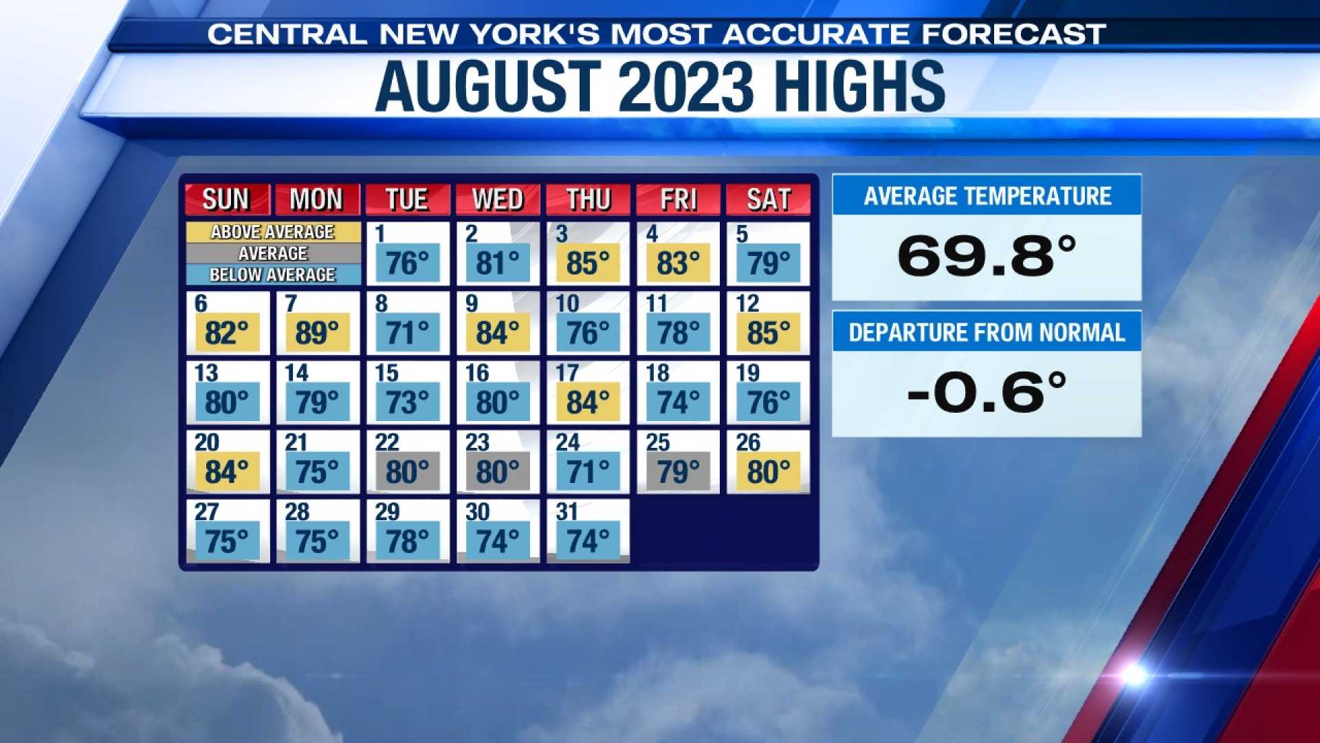
The streak of dry weather will continue through the weekend, thanks to a broad area of high pressure over the Northeast. This system has kept tropical heat at bay and significantly reduced rain chances. Temperatures are expected to range in the low 80s, which is below the average for this time of year in Central Park.
Low humidity will accompany these cooler temperatures, with dew points remaining comfortably under 60 degrees over the next several days. However, air quality may be an issue, as smoke from Canadian wildfires pushed the Air Quality Index into the “Unhealthy for Sensitive Groups” category earlier this week. Sensitive individuals should monitor outdoor activities until air quality improves, which is predicted to happen by Saturday.
Overall, residents are encouraged to take advantage of the pleasant weather while it lasts, as forecasts indicate rising temperatures and renewed humidity next week, marking a return to more typical August conditions.


