News
Severe Thunderstorm Warning Issued for Baltimore and Surrounding Areas
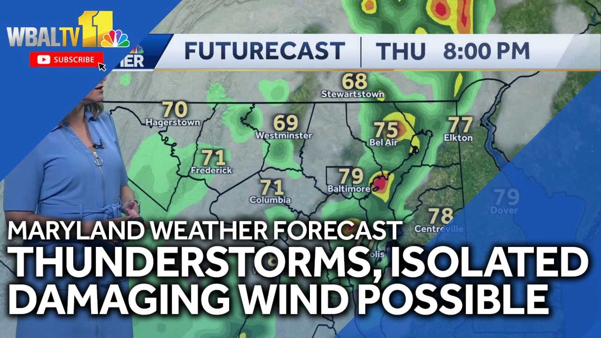
BALTIMORE, Md. — Meteorologist Ava Marie announced that Thursday, September 4, will be classified as an Impact Day due to expected evening thunderstorms across the Baltimore region. The storms are anticipated to move in during the afternoon and evening hours.
The thunderstorms are predicted to develop around 3:00 PM, coinciding with the time many students are leaving school. Parents are advised to ensure their children have safe travel plans in case of lightning.
Conditions leading to these storms include elevated humidity and warmer temperatures, which will reach the mid to upper 80s on Thursday. The National Weather Service also warns of a risk for isolated severe weather, including strong winds.
Later in the evening, there may be a second round of storms, although this is expected to be less severe. The humidity, which has been relatively low, is set to increase, with a warm night ahead as temperatures drop into the 60s.
Looking towards the weekend, temperatures will cool down significantly after a cold front moves through, with highs expected to fall back into the lower 70s. There is also potential for lingering showers and additional storms through Monday.
As for today, warm and sunny weather has been prevalent in Ocean City, but swimmers should be cautious. A moderate risk for rip currents remains along the coast as offshore activities continue to create choppy waters.


