News
Severe Thunderstorm Warning Issued for Northwestern New York Residents
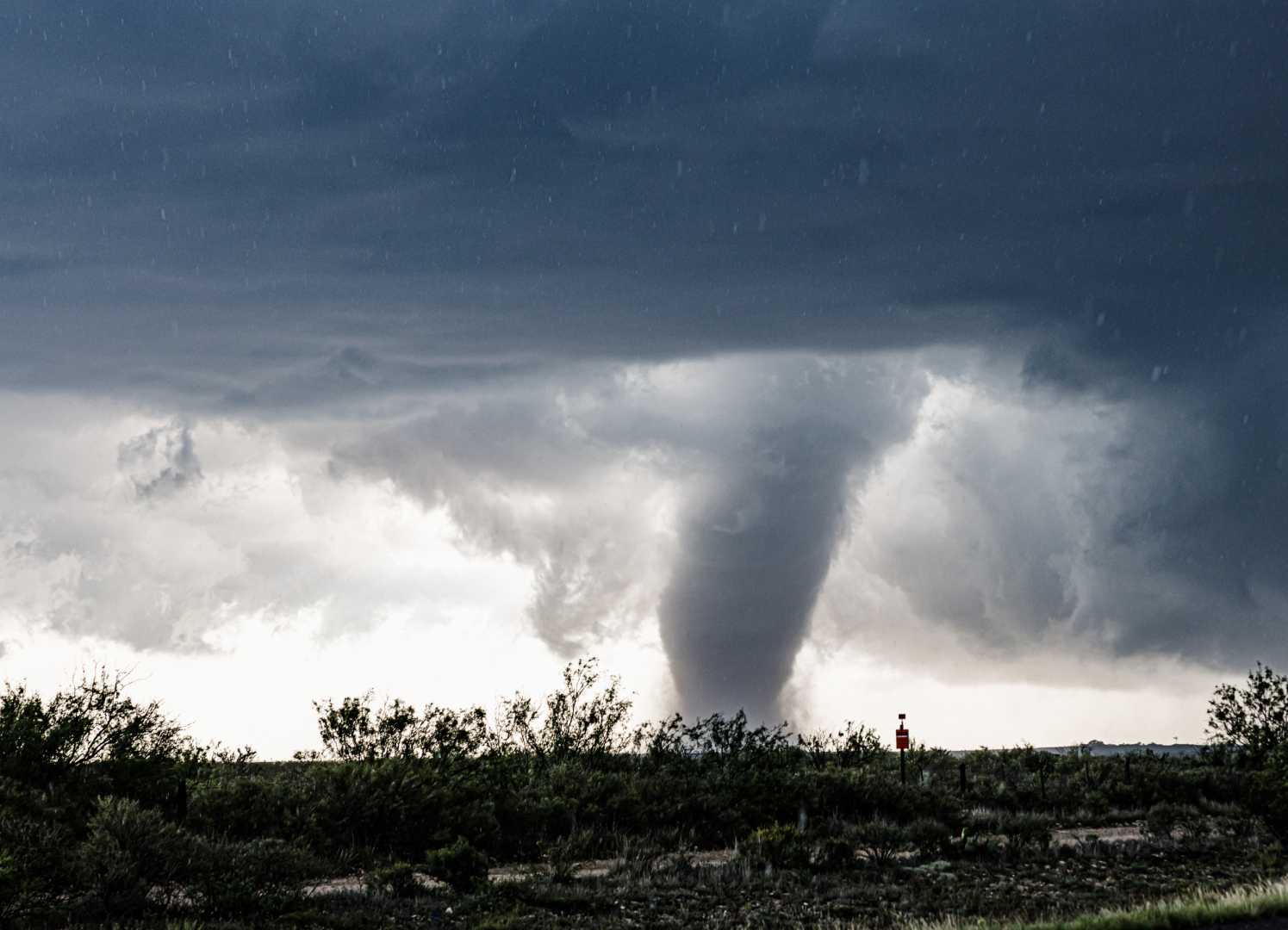
BUFFALO, New York — Nearly one million people in Northwestern New York were warned to stay alert for a possible tornado on Thursday morning as severe thunderstorms swept through the area. Although no tornado watches or warnings were officially issued, people were advised to take cover due to the storm’s intensity.
The National Weather Service (NWS) office in Buffalo issued a severe thunderstorm warning just before 10 a.m. local time. The warning covered more than 920,000 residents across Erie, Niagara, Orleans, and Genesee counties.
At 9:57 a.m., a severe thunderstorm was located near Erie Basin Marina, about 7 miles west of Kenmore, moving northeast at speeds of 40 mph. Significant locations impacted by the storm include Buffalo, Cheektowaga, Niagara Falls, West Seneca, and Clarence.
The NWS warned that the storm could produce wind gusts of up to 60 mph, along with pea-sized hail, which could result in damage to roofs, siding, and trees. “For your protection, move to an interior room on the lowest floor of a building,” the service advised.
This severe weather front comes as a cold front moves east across the region. Meteorologists expect rain and thunderstorms to persist throughout the day. A special marine warning, as well as a small craft advisory, is also in effect for the region.
NWS meteorologist Aaron Reynolds stated that the strong cold front is typical for this time of year. He emphasized the potential for additional storms to form later in the day, particularly further east.
The thunderstorm warning is set to expire at 11 a.m. local time, but meteorologists advise residents to remain vigilant as storms may continue throughout the day.


