News
Severe Thunderstorm Warning Issued for Philadelphia Area This Weekend
PHILADELPHIA, PA. – Severe thunderstorms are expected to impact the Philadelphia metro area beginning Saturday afternoon, prompting a severe thunderstorm watch valid until 8 p.m., according to the National Weather Service.
Heavy rain is already falling across the region, and more storms are forecast throughout the day. FOX 29 Meteorologist Drew Anderson warns of possible damaging winds, blinding rain, and frequent lightning. “Look at this at dinnertime, that’s when it’ll be nasty,” Anderson said.
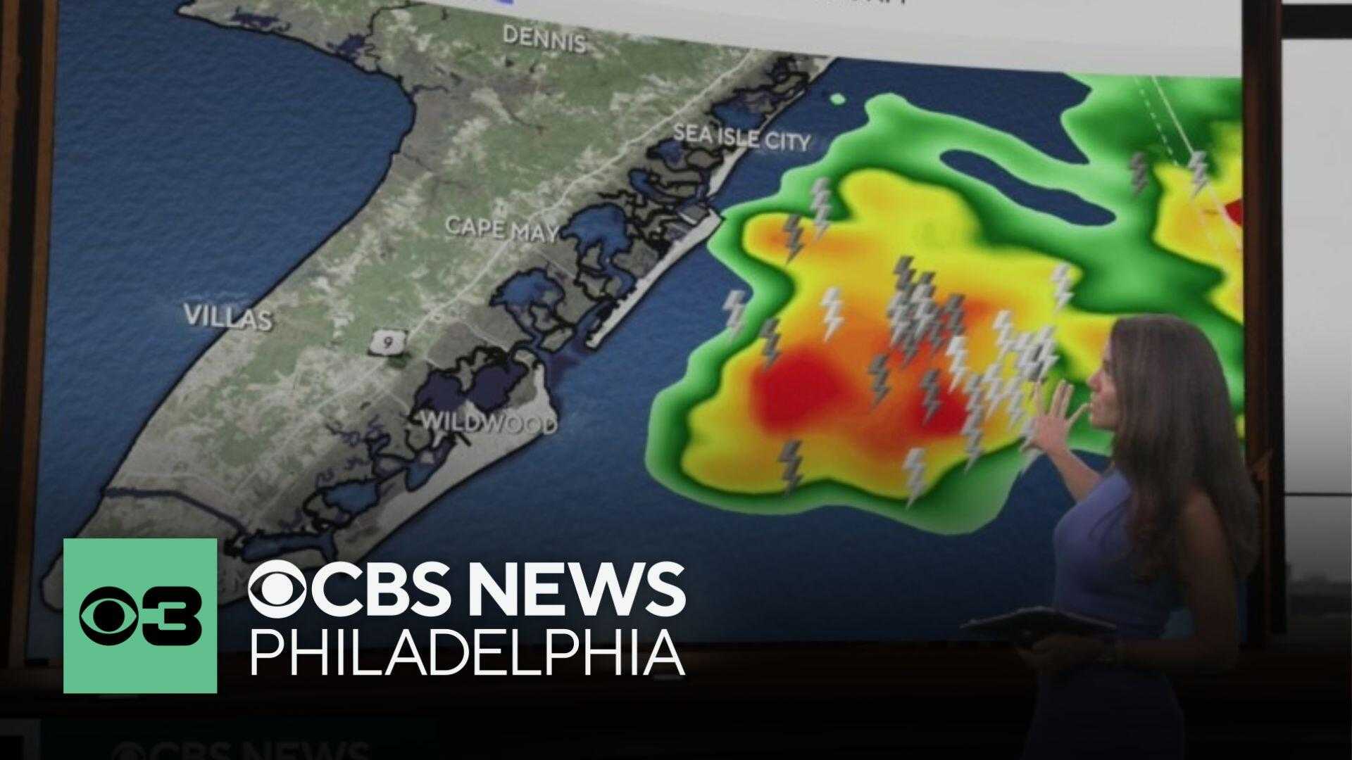
The National Weather Service predicts an 80% chance of rain with potential tornado activity in the area. Meteorologist Zack Cooper indicated that the peak threat will be between 4 and 8 p.m., as storms develop ahead of an approaching cold front.
“The main threat’s going to be damaging winds, but there’s also a low potential for a tornado or two, and also local flash flooding,” Cooper explained. With repeated heavy rainfall anticipated, flash flooding could occur particularly in urban areas with poor drainage.
As the storms progress, temperatures are expected to drop into the lower 60s overnight. Cooper emphasized the importance of having a plan in place to receive severe weather alerts and shelter indoors during storms.
The forecast for Sunday suggests lingering showers and a much cooler day, with highs in the lower 70s. Weather conditions will improve by Sunday afternoon, as the storms clear out.
In addition to thunderstorm warnings, the atmospheric conditions also led to a notably red sunrise due to wildfires in the western United States, which Cooper stated was a coincidental phenomenon.
The threats are not limited to just the Philadelphia area. The entire Northeast, impacting significant urban areas from Maryland to Maine, is under severe weather alerts. Residents are encouraged to stay informed and take precautions throughout the weekend.


