News
Severe Thunderstorm Warnings Issued as July Begins in D.C. Region
Washington, D.C. — On July 1, 2025, a hot, muggy morning gave way to severe thunderstorms in the D.C. area Tuesday afternoon, prompting a series of weather warnings.
The National Weather Service reported a large system of thunderstorms struck the region just before 3 p.m., triggering a severe thunderstorm warning for Washington, D.C., and several nearby suburbs until 4:15 p.m.
Additionally, a flash flood warning was issued until 6 p.m. for areas including Montgomery County in Maryland, and Arlington and Fairfax counties in Virginia, as well as the cities of Alexandria, Fairfax, and Falls Church.
“July is coming in hot, humid, and stormy with afternoon downpours that could lead to flash flooding,” said Eileen Whelan, a meteorologist with 7News First Alert. “Storms could contain damaging wind gusts and hail.”
By 3:30 p.m., reports of damage began to flood into the weather service, including downed tree limbs in southern Arlington and a tree that fell onto a car in Sykesville.
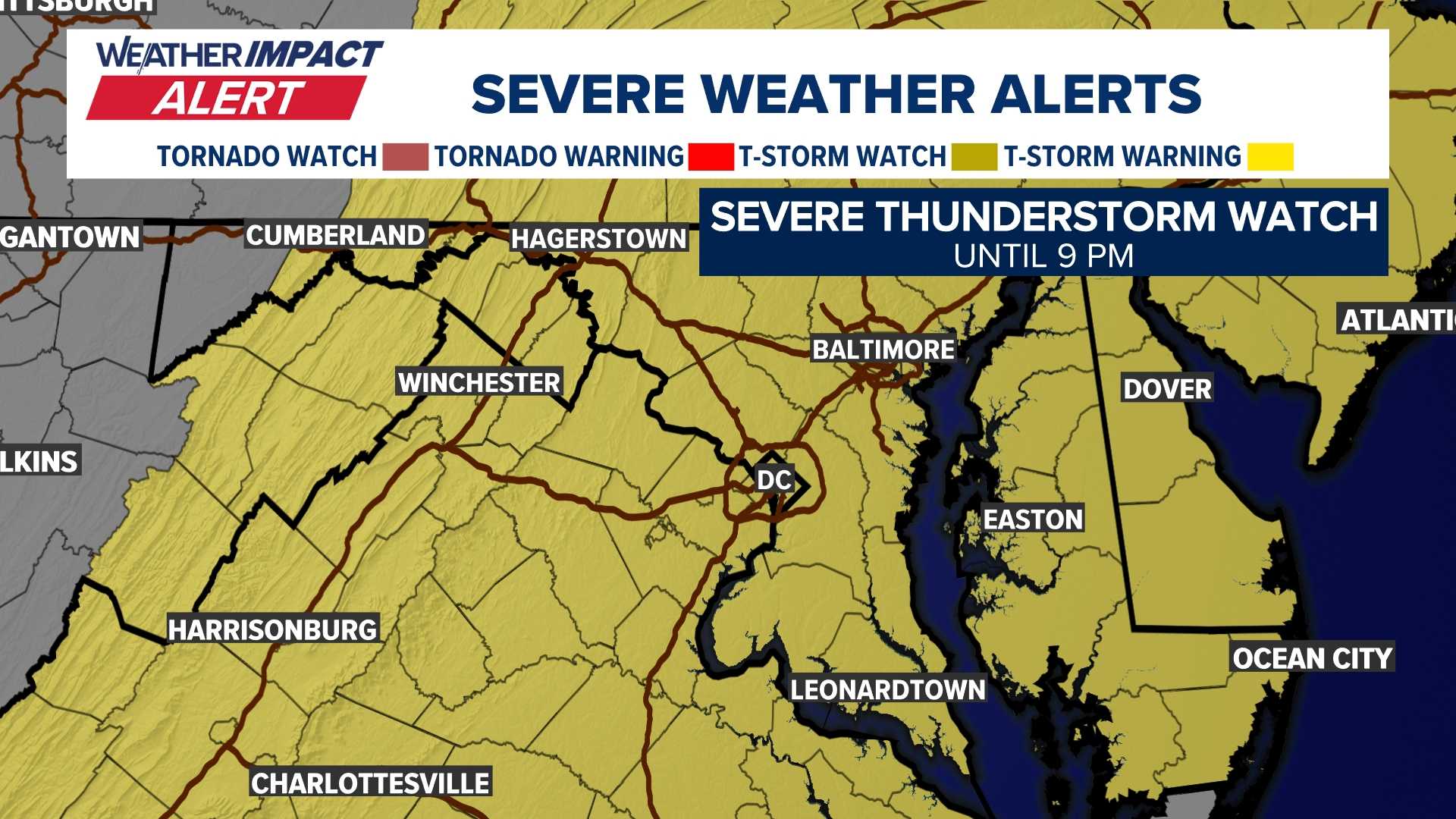
A severe thunderstorm watch remains in effect for the D.C. region until 9 p.m. Tuesday, with a flood watch lasting until 11 p.m.
The weather has caused pockets of heavy rain leading to standing water on local roadways, prompting officials to advise caution for drivers.
Temperatures reached nearly 90 degrees, with heat indices making it feel like 100. A strong cold front is responsible for the storms and increased humidity; however, it is expected to bring relief soon.
“Fourth of July weather looks great,” Whelan noted, projecting low humidity and temperatures around 90 degrees for the holiday weekend ahead.
Later forecasts indicate partly sunny skies with scattered strong to severe storms Tuesday afternoon and evening, followed by morning showers leading to afternoon clearing on Wednesday.


