News
Severe Thunderstorms Headed for D.C. Region This Tuesday
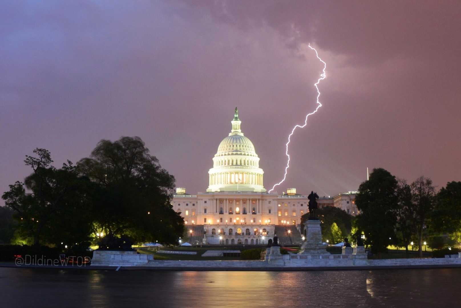
WASHINGTON – A severe thunderstorm warning is in effect until 3:30 PM today across several areas, with a flash flood warning extending until 6:00 PM.
A Flood Watch and a Severe Thunderstorm Watch affect the District of Columbia and parts of Maryland and Virginia as powerful thunderstorms and heavy rain are anticipated to impact the region this afternoon.
The National Weather Service indicates a slight risk of severe weather, with multiple rounds of storms expected throughout the day. Some storms could lead to heavy downpours, damaging wind gusts, and frequent lightning. Flash flooding is particularly possible in low-lying and flood-prone areas.
Temperatures are projected to reach the low 90s on Tuesday, with the heaviest rain likely arriving after 5 PM. “July is coming in hot, humid, and stormy with afternoon downpours that could lead to flash flooding,” said Eileen Whelan, a meteorologist with 7News First Alert.
A severe thunderstorm watch is active until 9 PM, while a flood watch will last from 2 PM until 11 PM. Whelan advises caution on area roadways, noting that pockets of heavy rain could create standing water.
The storms are prompted by a strong cold front, which will subsequently bring lower humidity levels following the storms. However, rain chances may continue into the night and early Wednesday.
“Fourth of July weather looks great,” Whelan noted, predicting low humidity and temperatures around 90 degrees for the holiday weekend.
Expect partly sunny conditions with scattered severe storms this afternoon, with highs ranging from 85 to 91 degrees. Tonight, the chance of wet weather will persist, with lows between 68 and 74 degrees.


