News
Thunderstorms Expected Saturday in New Hampshire
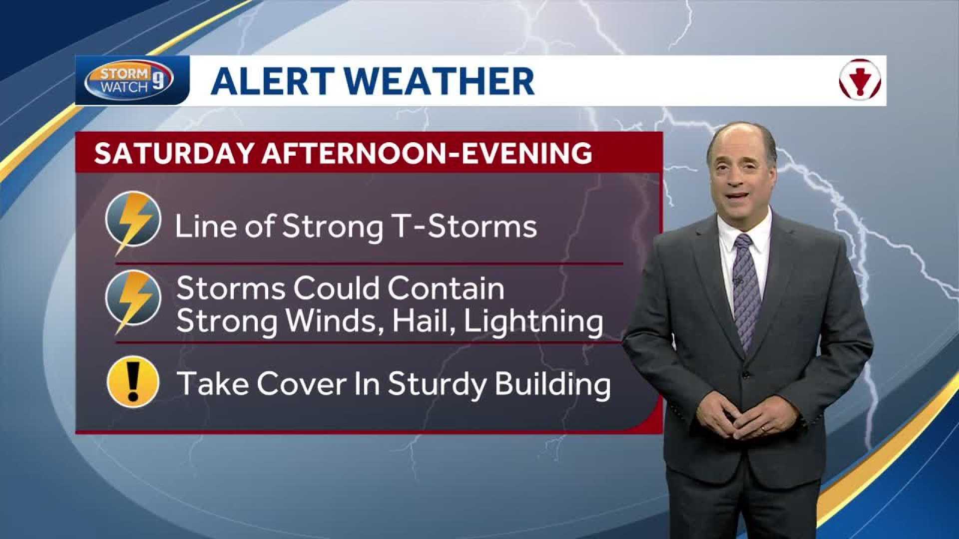
MANCHESTER, N.H. — Drought-stricken New Hampshire is preparing for a day of thunderstorms on Saturday. A cold front approaching from the west is expected to trigger severe weather, which could disrupt outdoor plans across the state.
Forecasters predict that the storms will begin forming in western New Hampshire around 1 p.m. and will move eastward toward the coastline by 6 or 7 p.m. High temperatures today are expected to reach the low to mid-80s, accompanied by increased humidity.
As the humidity rises, it may fuel downpours and thunderstorms. Some storms could be severe, bringing heavy rain, damaging winds, and even the possibility of hail and brief tornadoes, especially in areas from Cheshire County to Manchester and Concord.
Residents should prepare to seek shelter indoors and away from windows if storms approach. Torrential rain in a short amount of time could lead to localized flooding, making it essential for drivers to avoid flooded roads.
After the storms pass Saturday evening, New Hampshire will experience lingering rain on Sunday morning, particularly in the southern and southeastern regions. Skies are expected to clear later in the day as cooler, drier air filters in.
Sunday’s highs will only reach the mid-60s to very low 70s, providing a stark contrast to Saturday’s heat. The dry weather is forecasted to continue through early next week, with temperatures settling in the mid-60s to mid-70s.
Residents are encouraged to stay weather-aware and keep an eye on updates regarding storm coverage.


